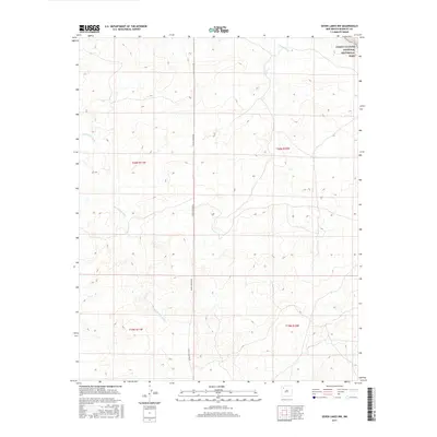
2017 Map of Seven Lakes NW
USGS Topo · Published 2017About this map
Chaco Culture National Historical Park anchors the northeast corner of this landscape, marking an area of profound archaeological significance. The terrain is defined by its drainage systems, most notably Fajada Wash and the winding Kin Klizhin Wash, which dictate the topography of the McKinley County high desert. A single primary artery, Chaco Canyon Rd, traverses the center of the map from north to south, providing the principal access through these arid lands. The map illustrates the structured Public Land Survey System divisions, including sections within t20n r11w, t20n r10w, t19n r11w, and t19n r10w. This 2017 survey reflects the modern management of this cultural landscape, showing the relationship between protected federal lands and the surrounding geography before the intensification of modern development in the Eastern Navajo Agency.
Find a feature on this map
8 named features on this map. Tap any name to fly to it.
Don’t see what you’re looking for? This feature index may not catch every label — zoom into the map to look around manually.
Map Details
Editions of this 2017 Seven Lakes NW Map
This is the sole edition of this map. No revisions or reprints were ever made.
Other maps of this area

1883 · Mt. Taylor
USGS Topo · 1:250,000

1886 · Wingate
USGS Topo · 1:250,000

1886 · Mt. Taylor
USGS Topo · 1:250,000

1889 · Largo
USGS Topo · 1:250,000

1889 · Chaco
USGS Topo · 1:250,000

1892 · Wingate
USGS Topo · 1:250,000

1892 · Chaco
USGS Topo · 1:250,000

1892 · Mt. Taylor
USGS Topo · 1:250,000

1895 · Largo
USGS Topo · 1:250,000

1899 · Mt. Taylor
USGS Topo · 1:250,000