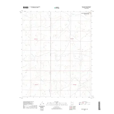
2020 Map of Seven Lakes NW
USGS Topo · Published 2020About this map
Chaco Culture National Historical Park anchors the northeast corner of this high-desert landscape in New Mexico. The terrain is defined by the ephemeral drainage systems of Fajada Wash and the sprawling Kin Klizhin Wash, which weave through a network of dry valleys and mesas. This 2020 edition reveals the sparse infrastructure of the Eastern Navajo Agency, centered largely on the corridor of Chaco Canyon Rd. The map illustrates a landscape shaped by ancient geological processes and contemporary tribal land management, where the presence of these massive wash systems dictates the local topography. As a modern survey, it documents the precise boundaries of federal and tribal interests at a scale that highlights the isolation and the environmental character of the San Juan Basin.
Find a feature on this map
8 named features on this map. Tap any name to fly to it.
Don’t see what you’re looking for? This feature index may not catch every label — zoom into the map to look around manually.
Map Details
Editions of this 2020 Seven Lakes NW Map
This is the sole edition of this map. No revisions or reprints were ever made.
Other maps of this area

1883 · Mt. Taylor
USGS Topo · 1:250,000

1886 · Wingate
USGS Topo · 1:250,000

1886 · Mt. Taylor
USGS Topo · 1:250,000

1889 · Largo
USGS Topo · 1:250,000

1889 · Chaco
USGS Topo · 1:250,000

1892 · Wingate
USGS Topo · 1:250,000

1892 · Chaco
USGS Topo · 1:250,000

1892 · Mt. Taylor
USGS Topo · 1:250,000

1895 · Largo
USGS Topo · 1:250,000

1899 · Mt. Taylor
USGS Topo · 1:250,000