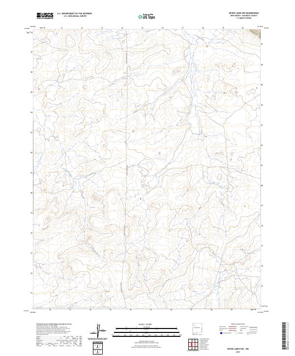
2023 Map of Seven Lakes NW
USGS Topo · Published 2023About this map
Kin Klizhin Wash and Fajada Wash cut through this high-desert landscape in McKinley County, defining the drainage patterns that have shaped the region for centuries. The map details the modern public land survey system divisions including t20n r11w and t20n r10w, showing how contemporary administrative boundaries overlay this ancient terrain. Central to the area's limited infrastructure is Chaco Canyon Rd, a primary arterial that provides access through the arid landscape. The absence of concentrated settlements highlights the remote character of this part of New Mexico, where the primary human imprint is found in the scattered road network and the strict grid of section lines that organize the open range.
Find a feature on this map
7 named features on this map. Tap any name to fly to it.
Don’t see what you’re looking for? This feature index may not catch every label — zoom into the map to look around manually.
Map Details
Editions of this 2023 Seven Lakes NW Map
This is the sole edition of this map. No revisions or reprints were ever made.
Other maps of this area

1883 · Mt. Taylor
USGS Topo · 1:250,000

1886 · Wingate
USGS Topo · 1:250,000

1886 · Mt. Taylor
USGS Topo · 1:250,000

1889 · Largo
USGS Topo · 1:250,000

1889 · Chaco
USGS Topo · 1:250,000

1892 · Wingate
USGS Topo · 1:250,000

1892 · Chaco
USGS Topo · 1:250,000

1892 · Mt. Taylor
USGS Topo · 1:250,000

1895 · Largo
USGS Topo · 1:250,000

1899 · Mt. Taylor
USGS Topo · 1:250,000