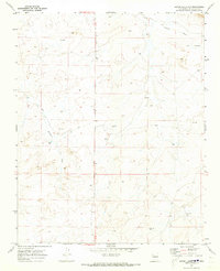
1970 Map of Seven Lakes NW
USGS Topo · Published 1973About this map
Indian Ruins in the northeastern reaches of this McKinley County landscape point to a deep history of human habitation long before modern surveys. The terrain is defined by the drainage patterns of Kin Klizhin Wash and Fajada Wash, which cut through the high desert floor. This 1970 field check captures a period of active resource exploration, evidenced by numerous Drill Hole locations scattered across the townships. The infrastructure of the era is sparse, marked primarily by isolated wells and fence lines, suggesting a landscape primarily used for rangeland. The transition between T. 20 N. and T. 19 N. reveals a plateau-and-wash system where water management was clearly the central concern for anyone working this arid New Mexico interior.
Find a feature on this map
7 named features on this map. Tap any name to fly to it.
Don’t see what you’re looking for? This feature index may not catch every label — zoom into the map to look around manually.
Map Details
Editions of this 1970 Seven Lakes NW Map
This is the sole edition of this map. No revisions or reprints were ever made.
Other maps of this area

1883 · Mt. Taylor
USGS Topo · 1:250,000

1886 · Wingate
USGS Topo · 1:250,000

1886 · Mt. Taylor
USGS Topo · 1:250,000

1889 · Largo
USGS Topo · 1:250,000

1889 · Chaco
USGS Topo · 1:250,000

1892 · Wingate
USGS Topo · 1:250,000

1892 · Chaco
USGS Topo · 1:250,000

1892 · Mt. Taylor
USGS Topo · 1:250,000

1895 · Largo
USGS Topo · 1:250,000

1899 · Mt. Taylor
USGS Topo · 1:250,000