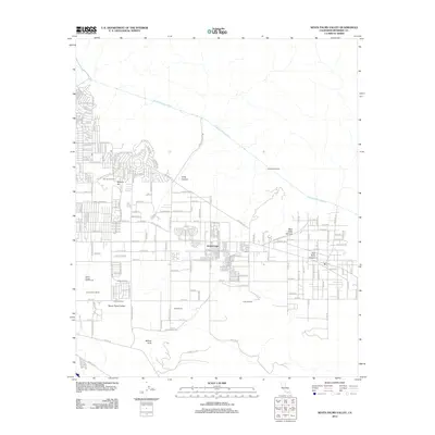
2012 Map of Seven Palms Valley
USGS Topo · Published 2012About this map
Two Bunch Palms and Miracle Hill stand as prominent markers of the development north of the Coachella Valley, where residential streets like Avenida Alta Loma and Dillon Rd carve into the desert landscape. This 2012 survey illustrates a transition from larger agrarian tracts to modern subdivisions, with several established family and commercial properties including Circle B Ranch, Mills Ranch, and the B-Bar-H Ranch still defining the local geography. Significant water infrastructure underpins the region's habitability, most notably the Colorado River Aqueduct and the Coachella Tunnels which transport vital resources across the arid terrain. The landscape is further shaped by natural features like Long Canyon and Willow Hole, alongside recreation at the Desert Dunes Golf Course.
Find a feature on this map
60 named features on this map. Tap any name to fly to it.
Don’t see what you’re looking for? This feature index may not catch every label — zoom into the map to look around manually.
Map Details
Editions of this 2012 Seven Palms Valley Map
This is the sole edition of this map. No revisions or reprints were ever made.
Other maps of this area

1901 · Southern California Sheet No. 1
USGS Topo · 1:250,000
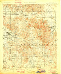
1901 · San Jacinto
USGS Topo · 1:125,000
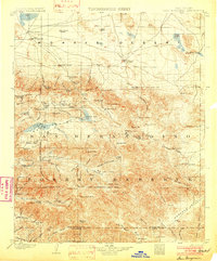
1902 · San Gorgonio
USGS Topo · 1:125,000

1904 · Southern California Sheet No. 1
USGS Topo · 1:250,000
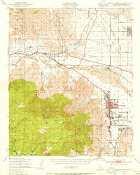
1940 · Palm Springs
USGS Topo · 1:62,500
1941 · Edom
USGS Topo · 1:62,500
1944 · Palm Springs
USGS Topo · 1:62,500
1944 · Edom
USGS Topo · 1:62,500
1947 · Santa Ana
USGS Topo · 1:250,000
1949 · Santa Ana
USGS Topo · 1:250,000