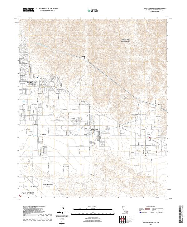
2021 Map of Seven Palms Valley
USGS Topo · Published 2021About this map
Desert Hot Springs sits at the foot of the Little San Bernardino Mountains, overlooking a landscape defined by desert topography and modern water management. The northern reaches of the quadrangle include the protected wilderness of Joshua Tree National Park, while the southern end transitions into the residential and commercial areas of Cathedral City and Palm Springs. A critical piece of infrastructure, the Colorado River Aqueduct, traverses the northern hills, illustrating the engineering required to sustain these arid communities. The map shows the grid-like development of Desert Edge and Garnet, contrasting with the open desert terrain of Seven Palms Valley. From the steep walls of Blind Canyon to the shifting sands of the Indio Hills, this map documents the residential expansion and vital utility corridors that define this portion of Riverside County in the early 21st century.
Find a feature on this map
173 named features on this map. Tap any name to fly to it.
Don’t see what you’re looking for? This feature index may not catch every label — zoom into the map to look around manually.
Map Details
Editions of this 2021 Seven Palms Valley Map
This is the sole edition of this map. No revisions or reprints were ever made.
Other maps of this area

1901 · Southern California Sheet No. 1
USGS Topo · 1:250,000

1901 · San Jacinto
USGS Topo · 1:125,000

1902 · San Gorgonio
USGS Topo · 1:125,000

1904 · Southern California Sheet No. 1
USGS Topo · 1:250,000

1940 · Palm Springs
USGS Topo · 1:62,500

1941 · Edom
USGS Topo · 1:62,500

1944 · Palm Springs
USGS Topo · 1:62,500

1944 · Edom
USGS Topo · 1:62,500

1947 · Santa Ana
USGS Topo · 1:250,000

1949 · Santa Ana
USGS Topo · 1:250,000