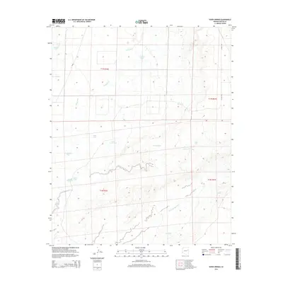
2014 Map of Seven Springs
USGS Topo · Published 2014About this map
Milky Wash and Beaver Dam Wash carve through this high-desert landscape in northern Apache County, revealing a terrain defined by intermittent water sources. Named for the vital Seven Springs feature in the southeast, the area is characterized by an extensive system of catchment basins or "tanks," many bearing the names of local figures such as Pat Hughes Tank, Reuell Jarvis Tank, and Pablo Tank. These water features, alongside others like Red Lake Tank and Grassy Knoll Tank, indicate the historical reliance on managed water for ranching and survival in this arid environment. The map shows the region during the early 21st century, where modern thoroughfares like Co Road 7230 intersect with traditional land divisions across four different townships, reflecting a sparsely populated but carefully utilized portion of the Arizona plateau.
Find a feature on this map
21 named features on this map. Tap any name to fly to it.
Don’t see what you’re looking for? This feature index may not catch every label — zoom into the map to look around manually.
Map Details
Editions of this 2014 Seven Springs Map
This is the sole edition of this map. No revisions or reprints were ever made.
Other maps of this area

1886 · St Johns
USGS Topo · 1:250,000

1892 · St Johns
USGS Topo · 1:250,000

1954 · Saint Johns
USGS Topo · 1:250,000

1955 · Adamana 1 SW
USGS Topo · 1:24,000

1955 · Adamana 4 NE
USGS Topo · 1:24,000

1955 · Adamana 4 NW
USGS Topo · 1:24,000

1955 · Wolford Springs 3 NW
USGS Topo · 1:24,000

1955 · Hunt
USGS Topo · 1:62,500

1956 · Adamana 1 NW
USGS Topo · 1:24,000

1957 · Saint Johns
USGS Topo · 1:250,000