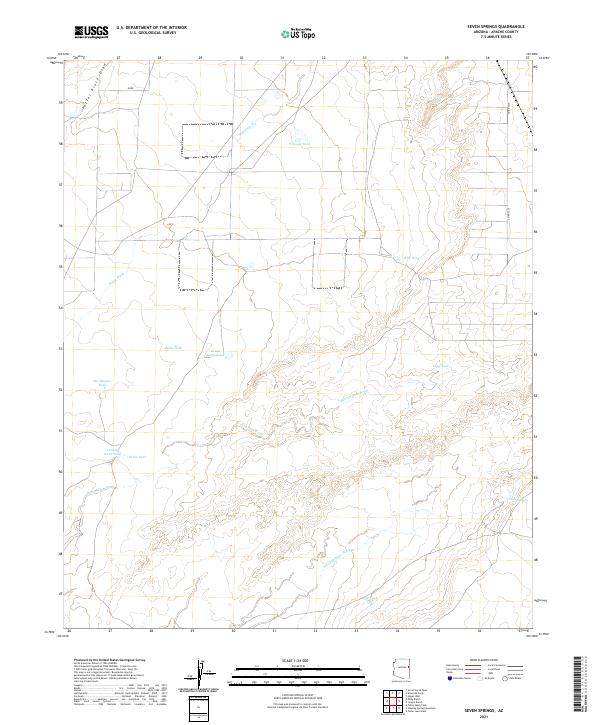
2021 Map of Seven Springs
USGS Topo · Published 2021About this map
Milky Wash and Seven Springs Wash define this desert landscape in western Apache County, where water management is the primary marker of human presence. This 2021 survey reveals an intricate network of earthen tanks and draws, likely supporting cattle ranching across the high plateau. Family and place names are etched into the terrain through features like Potter Place Draw, Reuell Jarvis Tank, and Pat Hughes Tank, indicating a legacy of local land use. The topography is further characterized by drainage systems like Beaver Dam Wash and small landmarks such as Grassy Knoll Tank. At the eastern edge of the quadrangle, the namesake Seven Springs provides a rare point of perennial interest in an otherwise arid environment primarily accessed via Co RD 7210.
Find a feature on this map
19 named features on this map. Tap any name to fly to it.
Don’t see what you’re looking for? This feature index may not catch every label — zoom into the map to look around manually.
Map Details
Editions of this 2021 Seven Springs Map
This is the sole edition of this map. No revisions or reprints were ever made.
Other maps of this area

1886 · St Johns
USGS Topo · 1:250,000

1892 · St Johns
USGS Topo · 1:250,000

1954 · Saint Johns
USGS Topo · 1:250,000

1955 · Adamana 1 SW
USGS Topo · 1:24,000

1955 · Adamana 4 NE
USGS Topo · 1:24,000

1955 · Adamana 4 NW
USGS Topo · 1:24,000

1955 · Wolford Springs 3 NW
USGS Topo · 1:24,000

1955 · Hunt
USGS Topo · 1:62,500

1956 · Adamana 1 NW
USGS Topo · 1:24,000

1957 · Saint Johns
USGS Topo · 1:250,000