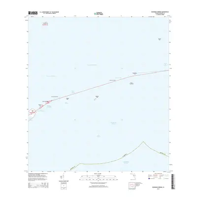
2015 Map of Sevenmile Bridge
USGS Topo · Published 2015About this map
The Sevenmile Bridge dominates this maritime corridor of the Florida Keys, spanning the gap between the Middle and Lower Keys over the Moser Channel. This modern survey illustrates the strategic transit route through the Intracoastal Waterway and the Atlantic Ocean, connecting isolated landmasses like Pigeon Key and Money Key.
Find a feature on this map
35 named features on this map. Tap any name to fly to it.
Don’t see what you’re looking for? This feature index may not catch every label — zoom into the map to look around manually.
Map Details
Editions of this 2015 Sevenmile Bridge Map
This is the sole edition of this map. No revisions or reprints were ever made.
Other maps of this area

1971 · Marathon
USGS Topo · 1:24,000

1972 · Marathon
USGS Topo · 1:24,000

1972 · Bamboo Key
USGS Topo · 1:24,000

1972 · Big Pine Key
USGS Topo · 1:24,000

1972 · East Bahia Honda Key
USGS Topo · 1:24,000

1972 · Horseshoe Keys
USGS Topo · 1:24,000

1972 · Sevenmile Bridge
USGS Topo · 1:24,000

1983 · Key West
USGS Topo · 1:100,000

1989 · Key West
USGS Topo · 1:250,000
2012 · Horseshoe Keys
USGS Topo · 1:24,000