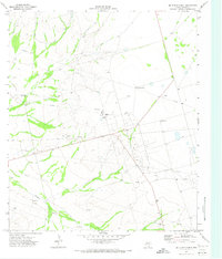
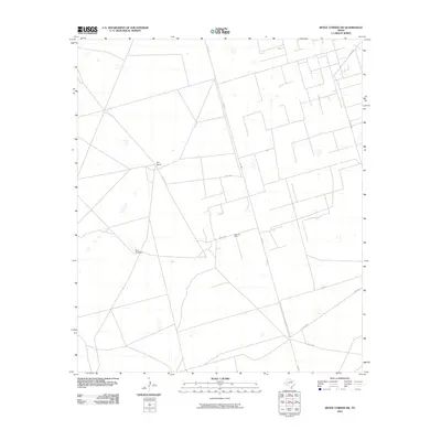
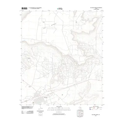
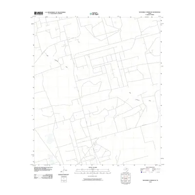
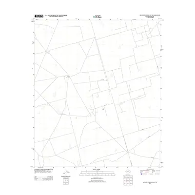
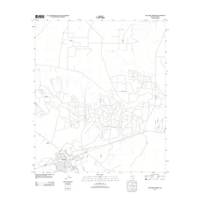
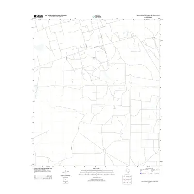
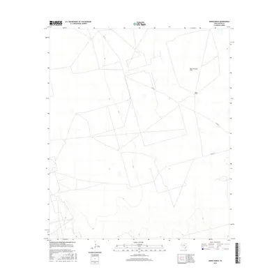
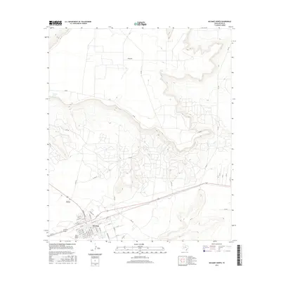
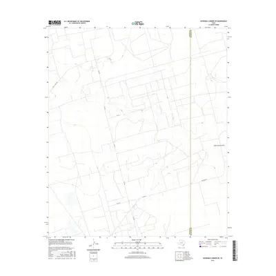
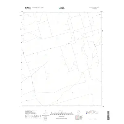
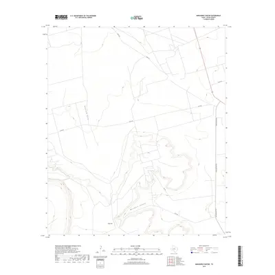
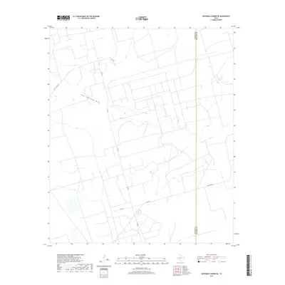
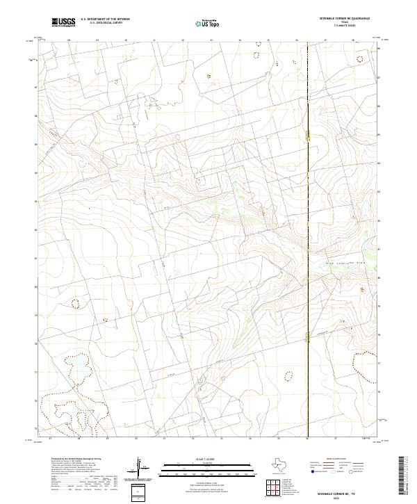
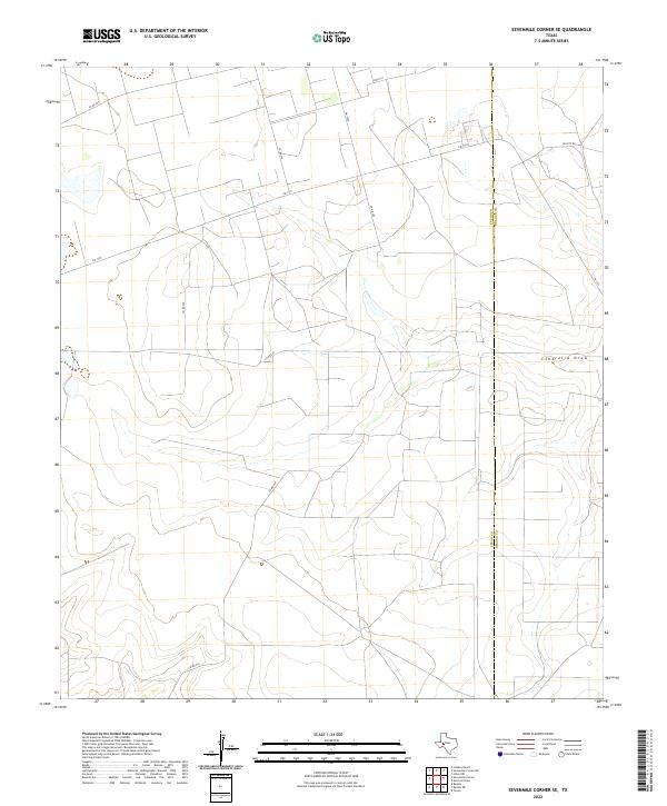
1970 Map of Sevenmile Corner SE
USGS Topo · Published 1973About this map
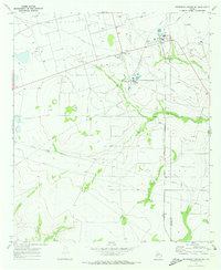
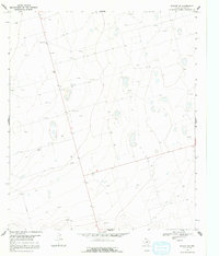
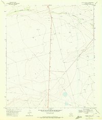
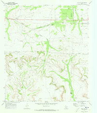
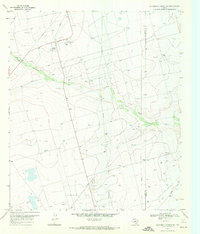
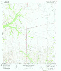
The Benedum Oil Field dominates this West Texas landscape, illustrating the intensive petroleum infrastructure of the early 1970s. Industrial operations are centered around Benedum Camp and a sprawling network of pipelines that traverse the arid terrain. Key facilities including a Refinery and a Natural Gas Plant are linked by a Landing Strip and the heavy-duty rail lines of the Atchison Topeka and Santa Fe.
Find a feature on this map
13 named features on this map. Tap any name to fly to it.
Don’t see what you’re looking for? This feature index may not catch every label — zoom into the map to look around manually.
Map Details
Editions of this 1970 Sevenmile Corner SE Map
This is the sole edition of this map. No revisions or reprints were ever made.
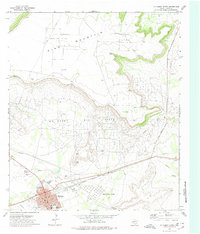
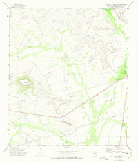
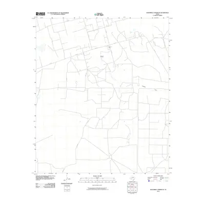
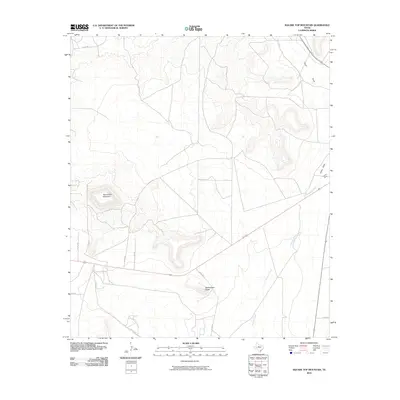
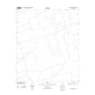
Historical Maps of Upton County Through Time
90 maps found
1968 Benge Corner SE
Upton County, TX
1968 Benge Corner SW
Upton County, TX
1968 Midkiff SE
Upton County, TX
1968 Midkiff SW
Upton County, TX
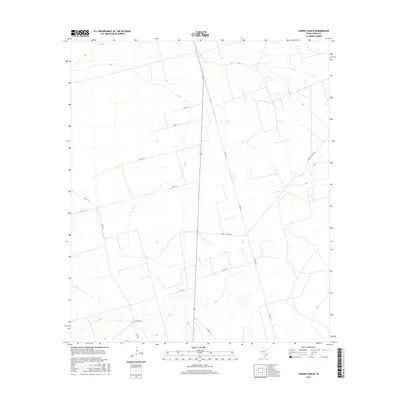
1970 Lindsey Ranch
Upton County, TX
1970 Rankin NE
Upton County, TX
1970 Sevenmile Corner NE
Upton County, TX
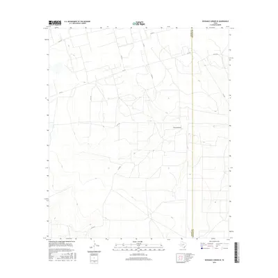
1970 Sevenmile Corner SE
Upton County, TX
1970 Sevenmile Corner
Upton County, TX
1971 Hanks Ranch
Upton County, TX
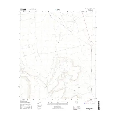
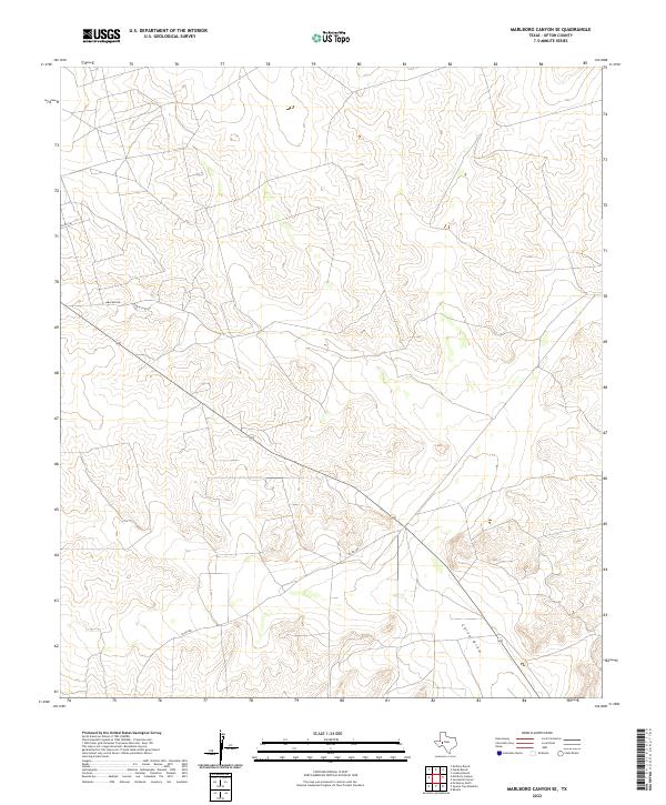
1971 Marlboro Canyon SE
Upton County, TX
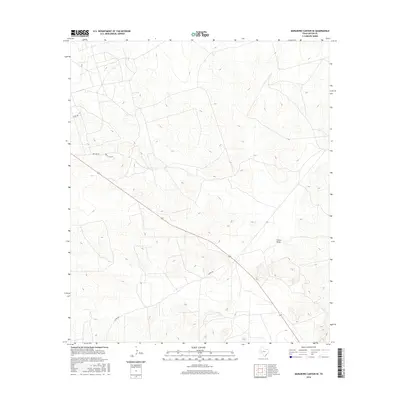
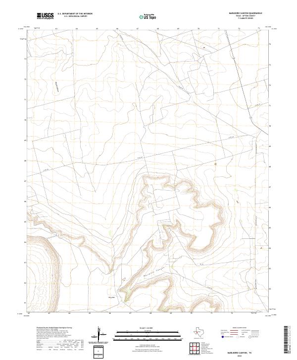
1971 Marlboro Canyon
Upton County, TX
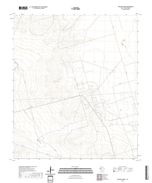
1971 McElroy Ranch
Upton County, TX
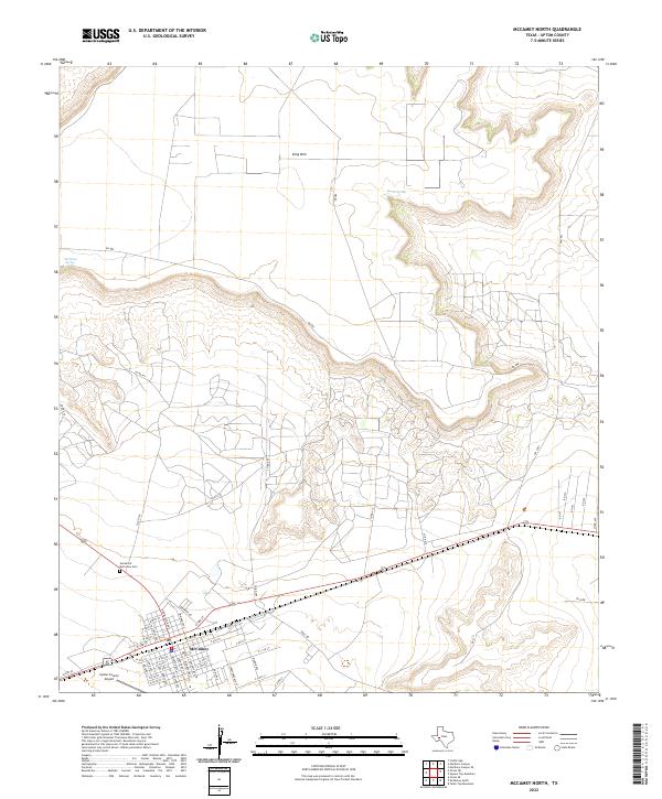
1972 McCamey North
Upton County, TX
1972 Square Top Mountain
Upton County, TX
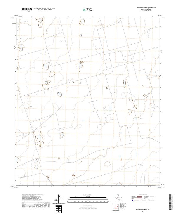
2010 Benge Corner SE
Upton County, TX
2010 Benge Corner SW
Upton County, TX
2010 Hanks Ranch
Upton County, TX

2010 Lindsey Ranch
Upton County, TX
2010 Marlboro Canyon SE
Upton County, TX
2010 Marlboro Canyon
Upton County, TX
2010 McCamey North
Upton County, TX
2010 McElroy Ranch
Upton County, TX
2010 Midkiff SE
Upton County, TX

2010 Midkiff SW
Upton County, TX
2010 Rankin NE
Upton County, TX
2010 Sevenmile Corner NE
Upton County, TX
2010 Sevenmile Corner SE
Upton County, TX

2010 Sevenmile Corner
Upton County, TX
2010 Square Top Mountain
Upton County, TX
2012 Benge Corner SE
Upton County, TX
2012 Benge Corner SW
Upton County, TX
2012 Lindsey Ranch
Upton County, TX
2012 Marlboro Canyon SE
Upton County, TX
2012 Marlboro Canyon
Upton County, TX
2012 McCamey North
Upton County, TX

2012 McElroy Ranch
Upton County, TX

2012 Midkiff SE
Upton County, TX
2012 Midkiff SW
Upton County, TX
2012 Rankin NE
Upton County, TX
2012 Sevenmile Corner NE
Upton County, TX
2012 Sevenmile Corner SE
Upton County, TX
2012 Sevenmile Corner
Upton County, TX

2012 Square Top Mountain
Upton County, TX
2013 Hanks Ranch
Upton County, TX

2016 Benge Corner SE
Upton County, TX
2016 Benge Corner SW
Upton County, TX
2016 Hanks Ranch
Upton County, TX
2016 Lindsey Ranch
Upton County, TX
2016 Marlboro Canyon SE
Upton County, TX
2016 Marlboro Canyon
Upton County, TX
2016 McCamey North
Upton County, TX
2016 McElroy Ranch
Upton County, TX

2016 Midkiff SE
Upton County, TX
2016 Midkiff SW
Upton County, TX
2016 Rankin NE
Upton County, TX
2016 Sevenmile Corner NE
Upton County, TX
2016 Sevenmile Corner SE
Upton County, TX
2016 Sevenmile Corner
Upton County, TX
2016 Square Top Mountain
Upton County, TX
2019 Benge Corner SE
Upton County, TX

2019 Benge Corner SW
Upton County, TX
2019 Hanks Ranch
Upton County, TX
2019 Lindsey Ranch
Upton County, TX
2019 Marlboro Canyon SE
Upton County, TX
2019 Marlboro Canyon
Upton County, TX
2019 McCamey North
Upton County, TX

2019 McElroy Ranch
Upton County, TX
2019 Midkiff SE
Upton County, TX

2019 Midkiff SW
Upton County, TX
2019 Rankin NE
Upton County, TX
2019 Sevenmile Corner NE
Upton County, TX
2019 Sevenmile Corner SE
Upton County, TX
2019 Sevenmile Corner
Upton County, TX
2019 Square Top Mountain
Upton County, TX
2022 Benge Corner SE
Upton County, TX
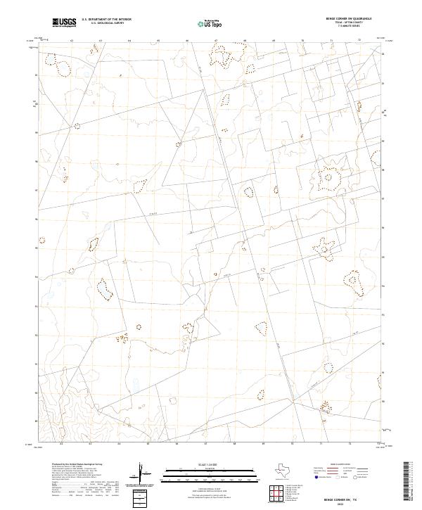
2022 Benge Corner SW
Upton County, TX
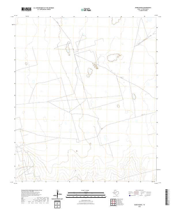
2022 Hanks Ranch
Upton County, TX
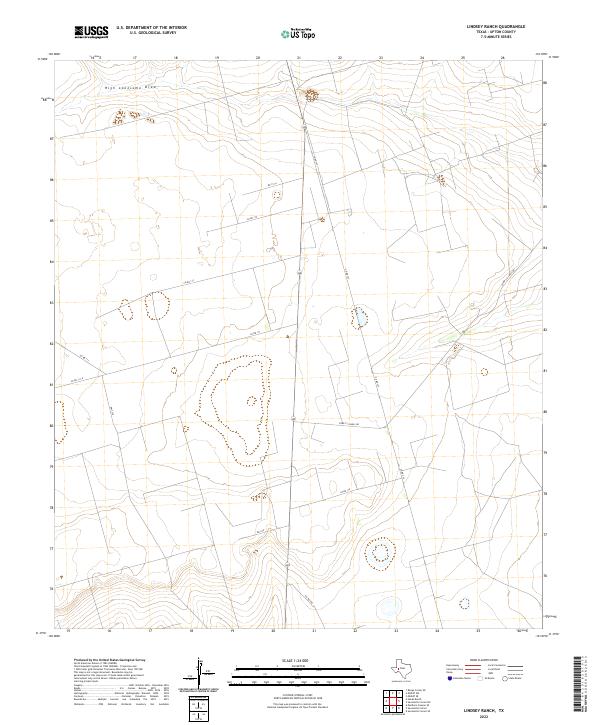
2022 Lindsey Ranch
Upton County, TX
2022 Marlboro Canyon SE
Upton County, TX
2022 Marlboro Canyon
Upton County, TX
2022 McCamey North
Upton County, TX
2022 McElroy Ranch
Upton County, TX
2022 Midkiff SE
Upton County, TX
2022 Midkiff SW
Upton County, TX
2022 Rankin NE
Upton County, TX
2022 Sevenmile Corner NE
Upton County, TX
2022 Sevenmile Corner SE
Upton County, TX
2022 Sevenmile Corner
Upton County, TX
2022 Square Top Mountain
Upton County, TX