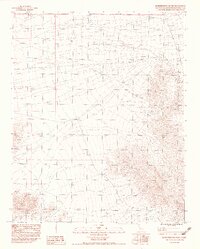
1983 Map of Seventeenmile Point
USGS Topo · Published 1983About this map
Seventeenmile Point rises as a prominent landmark in this desert landscape of San Bernardino County, where the terrain is defined by dry drainage systems and isolated peaks. This 1983 provisional survey shows a network of unimproved roads and fences that suggest the area's use for ranching or resource management rather than dense settlement. The topography is anchored by Little Cowhole Mountain in the west and the expansive drainage of Willow Wash to the northeast, which channels seasonal runoff through the arid basin. Evidence of water infrastructure is scarce, with Tank Eight serving as a primary artificial water source for the surrounding range. The layout of the roads and the placement of these few landmarks reflect the logistical challenges of a remote California desert environment during the late twentieth century.
Find a feature on this map
4 named features on this map. Tap any name to fly to it.
Don’t see what you’re looking for? This feature index may not catch every label — zoom into the map to look around manually.
Map Details
Editions of this 1983 Seventeenmile Point Map
2 editions found
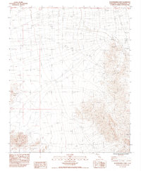
Other maps of this area

1910 · Ivanpah
USGS Topo · 1:250,000

1912 · Ivanpah
USGS Topo · 1:250,000

1933 · Avawatz Mountains
USGS Topo · 1:250,000

1942 · Ivanpah
USGS Topo · 1:250,000

1947 · Trona
USGS Topo · 1:250,000

1947 · Kingman
USGS Topo · 1:250,000

1948 · Kingman
USGS Topo · 1:250,000

1948 · Trona
USGS Topo · 1:250,000

1953 · Trona
USGS Topo · 1:250,000

1954 · Kingman
USGS Topo · 1:250,000