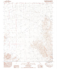
1983 Map of Seventeenmile Point
USGS Topo · Published 1984About this map
Paymaster Mine and the Oro Fino Mine anchor the eastern slopes of the range on this desert sheet, marking a legacy of extraction in the Mojave. This arid landscape is defined by the stark transition from the broad, open flats to the elevated terrain of Cowhole Mountain and Little Cowhole Mountain. Water, though scarce, is traced through features like Willow Wash and man-made infrastructure such as Tank Eight and Tank Nine, which were essential for cattle or mining operations in this high-heat environment. A long fence line cuts across the basin, indicating grazing boundaries or land management in San Bernardino County. In the south, a lonely Prospect suggests the persistent search for mineral wealth that characterized this region's historical development.
Find a feature on this map
14 named features on this map. Tap any name to fly to it.
Don’t see what you’re looking for? This feature index may not catch every label — zoom into the map to look around manually.
Map Details
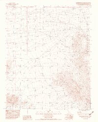
Editions of this 1983 Seventeenmile Point Map
2 editions found
Other maps of this area

1910 · Ivanpah
USGS Topo · 1:250,000

1912 · Ivanpah
USGS Topo · 1:250,000

1933 · Avawatz Mountains
USGS Topo · 1:250,000

1942 · Ivanpah
USGS Topo · 1:250,000

1947 · Trona
USGS Topo · 1:250,000

1947 · Kingman
USGS Topo · 1:250,000

1948 · Kingman
USGS Topo · 1:250,000

1948 · Trona
USGS Topo · 1:250,000

1953 · Trona
USGS Topo · 1:250,000

1954 · Kingman
USGS Topo · 1:250,000