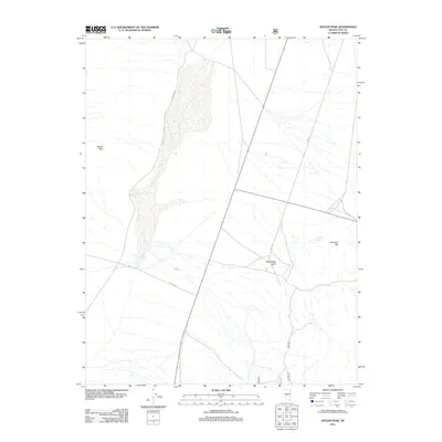
2011 Map of Seyler Peak
USGS Topo · Published 2011About this map
Seyler Peak towers over this section of Nye County, overlooking a landscape defined by seasonal water sources and historic transportation corridors. The arid terrain is marked by critical watering points such as Coyote Hole Spring and Palo Alto Spring, which were essential for both livestock and early travelers in this high-desert environment. The Seyler Reservoir sits at the base of the mountain, capturing runoff from the surrounding slopes. The map traces the path of the Fremont Rte, a modern road following a historic name synonymous with Western exploration. Modern connectivity is represented by Hwy 376 and 377, which intersect near Manhattan Gulch, providing a detailed look at the infrastructure supporting the ranching and mining interests of central Nevada.
Find a feature on this map
13 named features on this map. Tap any name to fly to it.
Don’t see what you’re looking for? This feature index may not catch every label — zoom into the map to look around manually.
Map Details
Editions of this 2011 Seyler Peak Map
This is the sole edition of this map. No revisions or reprints were ever made.
Other maps of this area

1907 · Tonopah
USGS Topo · 1:250,000

1908 · Tonopah
USGS Topo · 1:250,000

1956 · Tonopah
USGS Topo · 1:250,000

1959 · Tonopah
USGS Topo · 1:250,000

1962 · Tonopah
USGS Topo · 1:250,000

1963 · Baxter Spring
USGS Topo · 1:62,500

1964 · San Antonio Ranch
USGS Topo · 1:62,500

1971 · Seyler Peak
USGS Topo · 1:24,000

1971 · Manhattan
USGS Topo · 1:24,000

1971 · Pablo Canyon Ranch
USGS Topo · 1:24,000