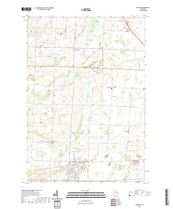
2022 Map of Seymour
USGS Topo · Published 2022About this map
Seymour serves as the primary hub for this agricultural landscape, situated along the county line between Shawano Co and Outagamie Co. The town's layout is defined by its historic street grid, which connects to the Newton Blackmour State Trail, a significant recreational corridor following a former rail alignment through the heart of the community. To the north, the small settlements of Rose Lawn and Isaar anchor the rural landscape, which is drained by a network of waterways including Black Creek, Toad Creek, and the headwaters of the South Branch Suamico River.
Find a feature on this map
68 named features on this map. Tap any name to fly to it.
Don’t see what you’re looking for? This feature index may not catch every label — zoom into the map to look around manually.
Map Details
Editions of this 2022 Seymour Map
This is the sole edition of this map. No revisions or reprints were ever made.
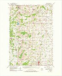
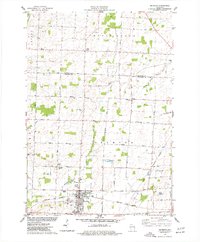
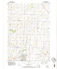
Historical Maps of Seymour Through Time
4 maps found