
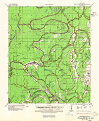
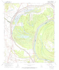
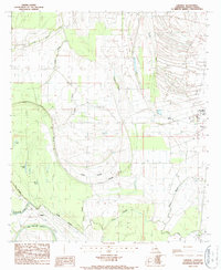
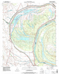
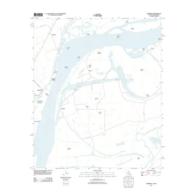
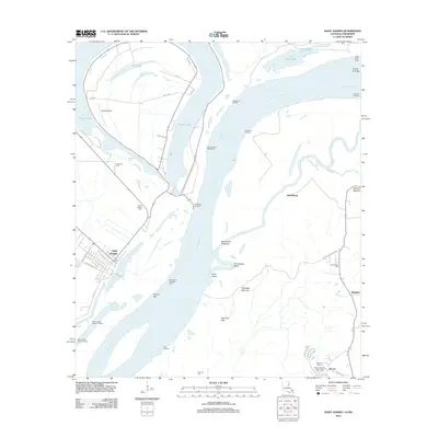
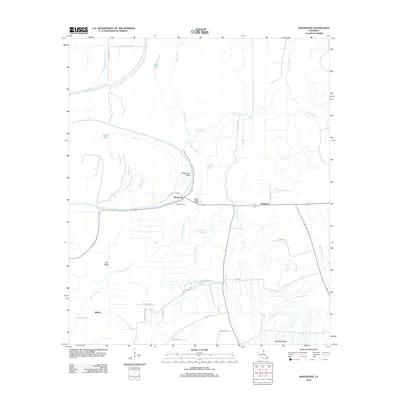
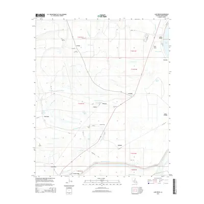
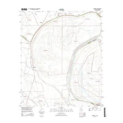
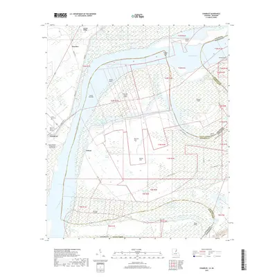
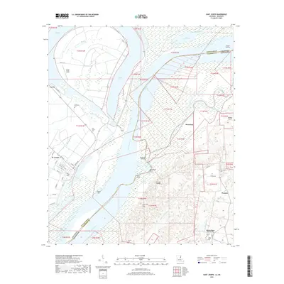
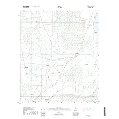
1958 Map of Shackleford Lake
USGS Topo · Published 1958About this map
The Tensas River meanders across the alluvial landscape of Tensas Parish, defining a region where the logging and plantation economy shaped the settlement patterns of the 1950s. The Chicago Mill and Lumber Co Game Management Area Railroad cuts through the river's loops, serving the industrial timber operations that once dominated this delta country. Small communities and landings like Newlight, Shackleford, and New Quarters anchor the local geography, often organized around family-named landmarks and landing sites like Tensas Bluff Ldg and Glade Bayou Ldg. Deep-rooted local history is evident in the presence of ancient Indian Mounds and multiple country churches, including Morning Star Ch and the dual-purpose Magnolia Sch & Ch. The emergence of the energy sector is marked by the Killens Ferry Gas Field, signaling a transition from pure timber and agriculture toward resource extraction.
Find a feature on this map
93 named features on this map. Tap any name to fly to it.
Don’t see what you’re looking for? This feature index may not catch every label — zoom into the map to look around manually.
Map Details
Editions of this 1958 Shackleford Lake Map
This is the sole edition of this map. No revisions or reprints were ever made.
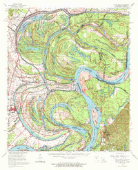
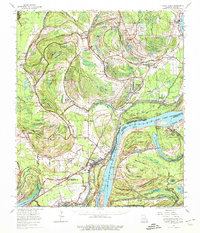
Historical Maps of Newellton Through Time
72 maps found

1909 Delta Bridge
Tensas Parish, LA

1909 Lake Bruen
Tensas Parish, LA
1935 Shackleford Lake
Tensas Parish, LA

1939 Locust Ridge
Tensas Parish, LA
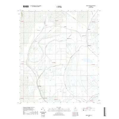
1958 Shackleford Lake
Tensas Parish, LA
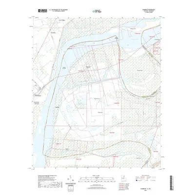
1963 Chamblee
Tensas Parish, LA
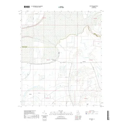
1963 Gretna Green
Tensas Parish, LA
1963 Lake Bruin
Tensas Parish, LA
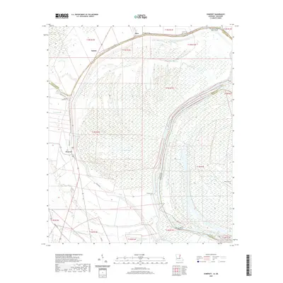
1963 Somerset
Tensas Parish, LA
1965 Davis Island
Tensas Parish, LA
1965 Locust Ridge
Tensas Parish, LA
1987 NewLight
Tensas Parish, LA
1987 Saranac
Tensas Parish, LA

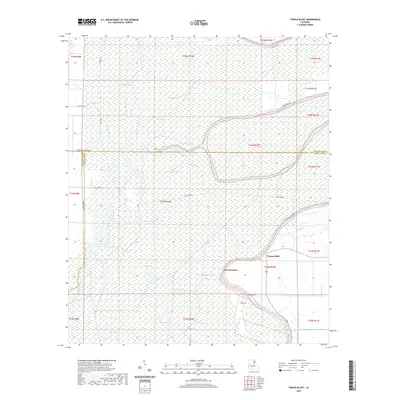
1987 Tensas Bluff
Tensas Parish, LA
1987 Westwood
Tensas Parish, LA
1994 Chamblee
Tensas Parish, LA
1994 Lake Bruin
Tensas Parish, LA

1994 Saranac
Tensas Parish, LA
1994 Somerset
Tensas Parish, LA
1998 Gretna Green
Tensas Parish, LA

1998 Tensas Bluff
Tensas Parish, LA
1998 Westwood
Tensas Parish, LA
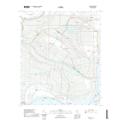
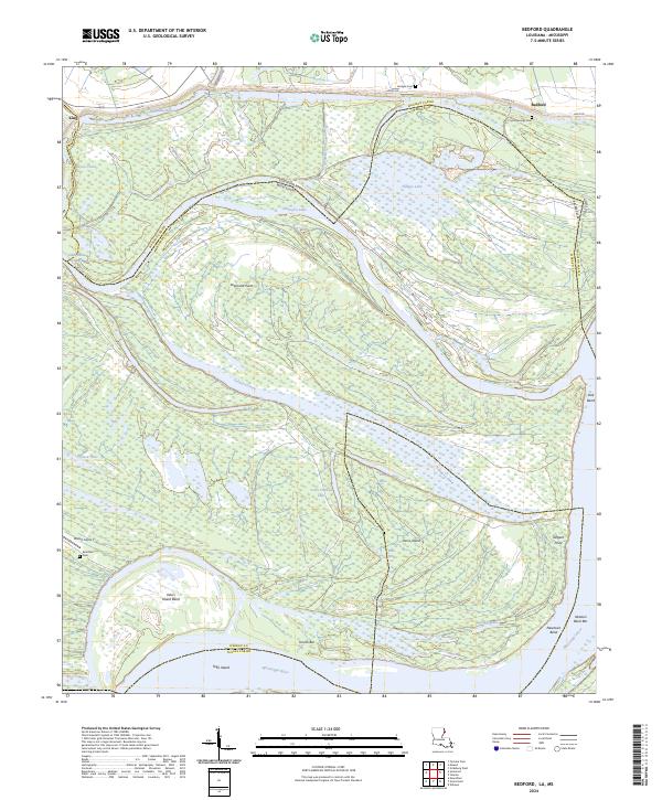
2012 Bedford
Tensas Parish, LA
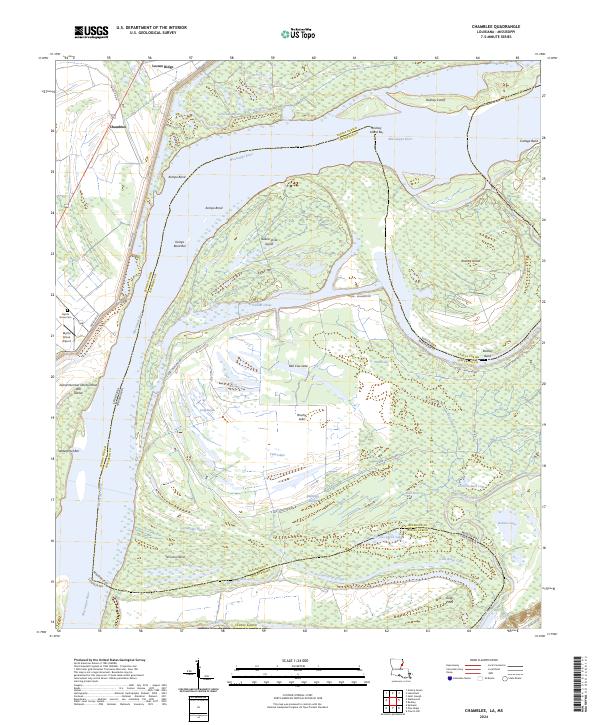
2012 Chamblee
Tensas Parish, LA
2012 Gretna Green
Tensas Parish, LA
2012 Lake Bruin
Tensas Parish, LA
2012 Newlight
Tensas Parish, LA
2012 Saint Joseph
Tensas Parish, LA
2012 Saranac
Tensas Parish, LA
2012 Somerset
Tensas Parish, LA
2012 Tensas Bluff
Tensas Parish, LA
2012 Westwood
Tensas Parish, LA
2015 Bedford
Tensas Parish, LA
2015 Chamblee
Tensas Parish, LA
2015 Gretna Green
Tensas Parish, LA
2015 Lake Bruin
Tensas Parish, LA
2015 Newlight
Tensas Parish, LA
2015 Saint Joseph
Tensas Parish, LA
2015 Saranac
Tensas Parish, LA
2015 Somerset
Tensas Parish, LA
2015 Tensas Bluff
Tensas Parish, LA
2015 Westwood
Tensas Parish, LA
2018 Bedford
Tensas Parish, LA
2018 Chamblee
Tensas Parish, LA
2018 Gretna Green
Tensas Parish, LA
2018 Lake Bruin
Tensas Parish, LA
2018 Newlight
Tensas Parish, LA
2018 Saint Joseph
Tensas Parish, LA
2018 Saranac
Tensas Parish, LA
2018 Somerset
Tensas Parish, LA
2018 Tensas Bluff
Tensas Parish, LA
2018 Westwood
Tensas Parish, LA
2020 Bedford
Tensas Parish, LA
2020 Chamblee
Tensas Parish, LA
2020 Gretna Green
Tensas Parish, LA
2020 Lake Bruin
Tensas Parish, LA
2020 Newlight
Tensas Parish, LA
2020 Saint Joseph
Tensas Parish, LA
2020 Saranac
Tensas Parish, LA
2020 Somerset
Tensas Parish, LA
2020 Tensas Bluff
Tensas Parish, LA

2020 Westwood
Tensas Parish, LA
2024 Bedford
Tensas Parish, LA
2024 Chamblee
Tensas Parish, LA
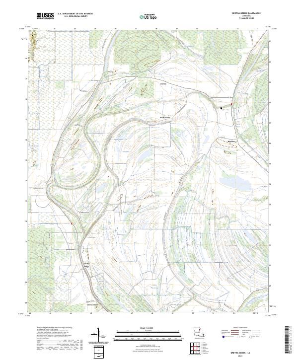
2024 Gretna Green
Tensas Parish, LA
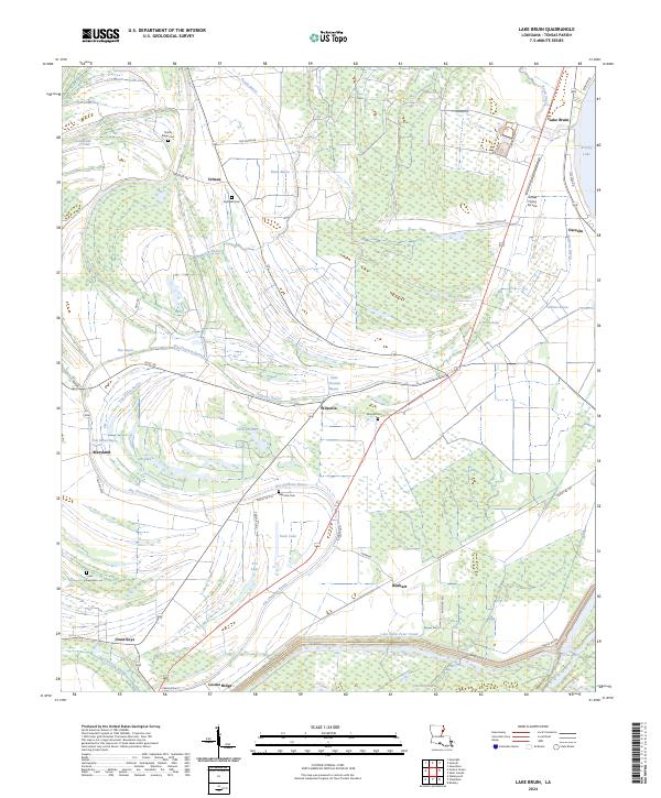
2024 Lake Bruin
Tensas Parish, LA
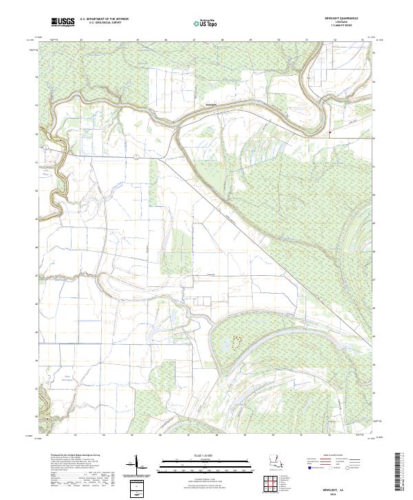
2024 Newlight
Tensas Parish, LA
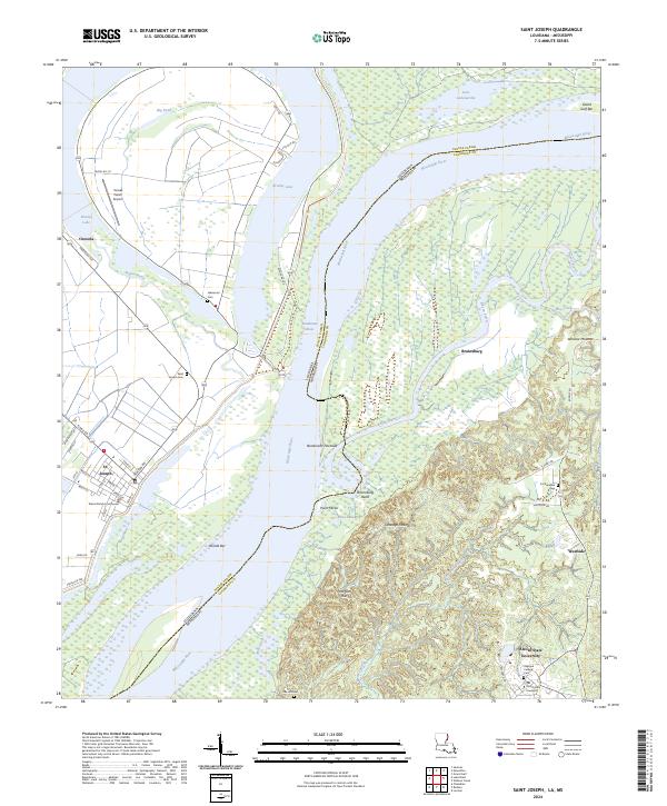
2024 Saint Joseph
Tensas Parish, LA

2024 Saranac
Tensas Parish, LA
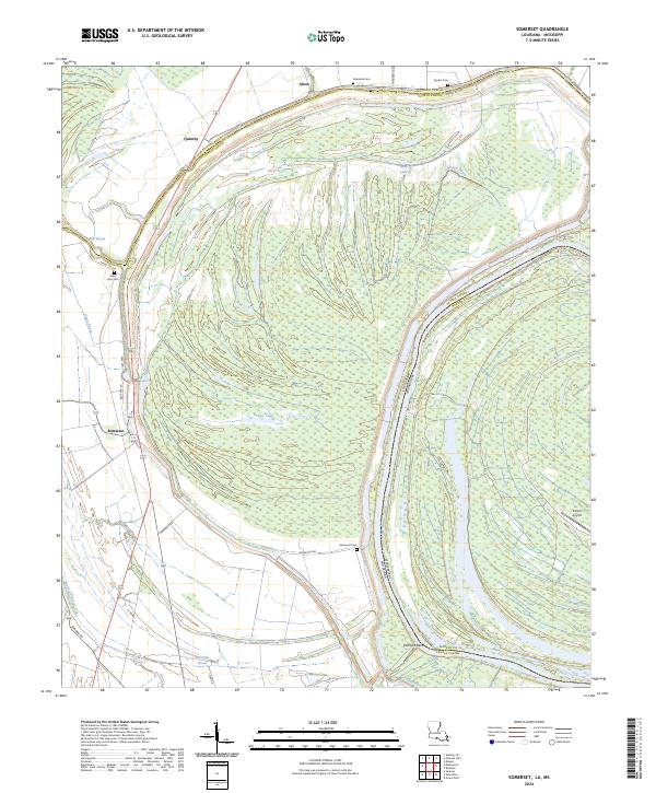
2024 Somerset
Tensas Parish, LA
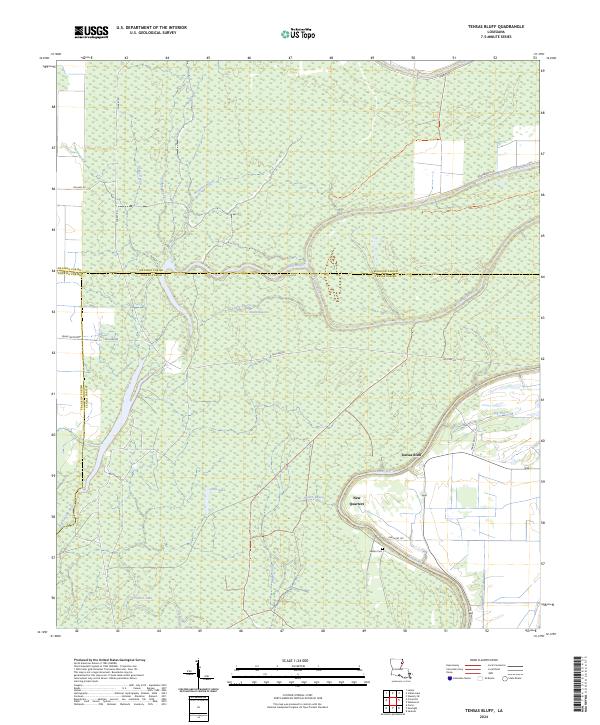
2024 Tensas Bluff
Tensas Parish, LA
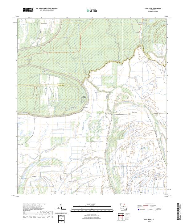
2024 Westwood
Tensas Parish, LA