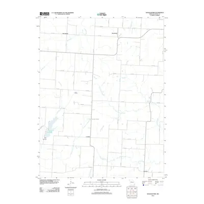
2012 Map of Shackleford
USGS Topo · Published 2012About this map
Salt Springs and the small settlement of Shackleford anchor this agricultural landscape in Saline County. The terrain is defined by a dense network of watercourses, including the winding Salt Branch and Crooked Creek, which reveal the drainage patterns of the Missouri prairie. To the southwest, the Blind Pony Lake Dam creates Blind Pony Lake, a significant water feature in an otherwise stream-dominated area. Smaller communities like Cretcher and Herndon are connected by a grid of county roads, such as Co RD Ee and Co RD 318, illustrating the rural development of the early 21st century. For local historians and genealogists, the map identifies specific burial sites including Goshen Cemetery and Providence Cemetery, which serve as quiet landmarks of the region's long-established family lineages.
Find a feature on this map
38 named features on this map. Tap any name to fly to it.
Don’t see what you’re looking for? This feature index may not catch every label — zoom into the map to look around manually.
Map Details
Editions of this 2012 Shackleford Map
This is the sole edition of this map. No revisions or reprints were ever made.
Other maps of this area

1887 · Sedalia
USGS Topo · 1:125,000

1890 · Marshall
USGS Topo · 1:125,000

1892 · Marshall
USGS Topo · 1:125,000

1894 · Sedalia
USGS Topo · 1:125,000

1901 · Marshall
USGS Topo · 1:125,000

1939 · Sweet Springs
USGS Topo · 1:62,500

1940 · Sweet Springs
USGS Topo · 1:62,500

1940 · Marshall
USGS Topo · 1:62,500

1941 · Sweet Springs
USGS Topo · 1:62,500

1944 · Marshall
USGS Topo · 1:62,500