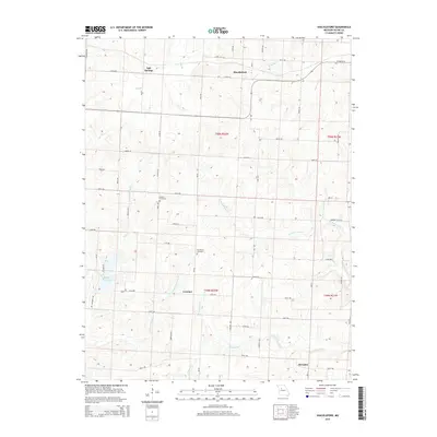
2015 Map of Shackleford
USGS Topo · Published 2015About this map
Salt Springs and the village of Shackleford anchor this agricultural region of Saline County, where a network of section roads like Mo-Ee and Mo-Z connects long-established farming communities. The terrain is defined by a dense drainage system of prairie creeks, including the W Fork Finney Cr and Straddle Cr, which flow through the gently undulating landscape. For genealogists, the map preserves the location of Goshen Cemetery and Providence Cemetery, situated near the crossroads of Cretcher. The western portion of the quadrangle features Blind Pony Lake, a significant water body fed by Pony Cr, while the southern reaches include the small settlement of Herndon. This landscape reflects a contemporary view of Missouri's rural interior, where modern infrastructure overlays the original Public Land Survey System grid that shaped the county's early development.
Find a feature on this map
63 named features on this map. Tap any name to fly to it.
Don’t see what you’re looking for? This feature index may not catch every label — zoom into the map to look around manually.
Map Details
Editions of this 2015 Shackleford Map
This is the sole edition of this map. No revisions or reprints were ever made.
Other maps of this area

1887 · Sedalia
USGS Topo · 1:125,000

1890 · Marshall
USGS Topo · 1:125,000

1892 · Marshall
USGS Topo · 1:125,000

1894 · Sedalia
USGS Topo · 1:125,000

1901 · Marshall
USGS Topo · 1:125,000

1939 · Sweet Springs
USGS Topo · 1:62,500

1940 · Sweet Springs
USGS Topo · 1:62,500

1940 · Marshall
USGS Topo · 1:62,500

1941 · Sweet Springs
USGS Topo · 1:62,500

1944 · Marshall
USGS Topo · 1:62,500