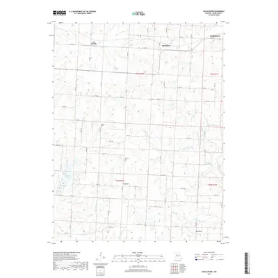
2017 Map of Shackleford
USGS Topo · Published 2017About this map
Salt Springs and the village of Shackleford anchor this Saline County landscape, characterized by a dense network of country roads and winding watercourses. The rural character of the region is preserved through small settlements like Cretcher and Herndon, which serve as quiet nodes within a grid of county routes such as Co RD 430 and Co RD Ee. The northwestern corner of Marshall enters the frame, marking the transition from agricultural land to the county seat's outskirts.
Find a feature on this map
56 named features on this map. Tap any name to fly to it.
Don’t see what you’re looking for? This feature index may not catch every label — zoom into the map to look around manually.
Map Details
Editions of this 2017 Shackleford Map
This is the sole edition of this map. No revisions or reprints were ever made.
Other maps of this area

1887 · Sedalia
USGS Topo · 1:125,000

1890 · Marshall
USGS Topo · 1:125,000

1892 · Marshall
USGS Topo · 1:125,000

1894 · Sedalia
USGS Topo · 1:125,000

1901 · Marshall
USGS Topo · 1:125,000

1939 · Sweet Springs
USGS Topo · 1:62,500

1940 · Sweet Springs
USGS Topo · 1:62,500

1940 · Marshall
USGS Topo · 1:62,500

1941 · Sweet Springs
USGS Topo · 1:62,500

1944 · Marshall
USGS Topo · 1:62,500