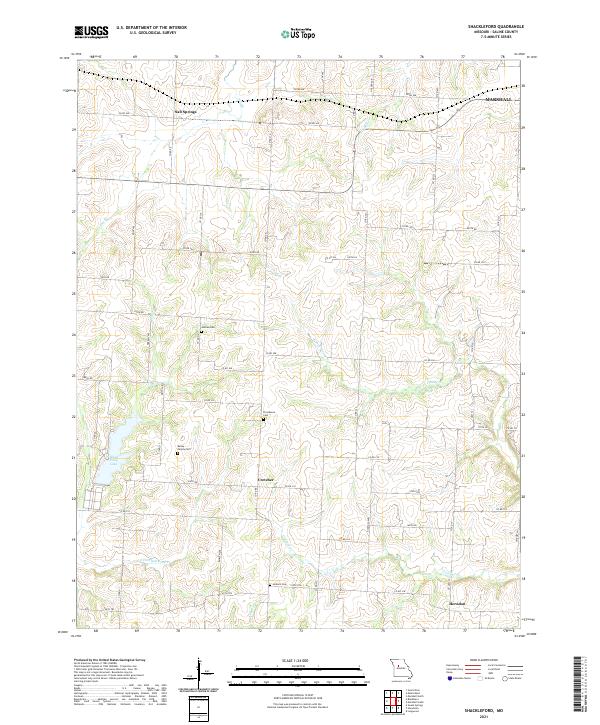
2021 Map of Shackleford
USGS Topo · Published 2021About this map
Salt Springs and the rural crossroads of Cretcher anchor this agricultural landscape in Saline County, where a dense network of county roads connects family-named landmarks and local burial grounds. The terrain is deeply carved by drainage systems including Salt Br, Straddle Cr, and the multiple branches of W Fork Finney Cr, which feed into larger regional watersheds. For genealogists and local historians, the presence of several cemeteries—including Antioch Cem, Goshen Cem, and the Bailey Family Cem—provides specific points of interest for tracing family roots within the township. Near the southwestern corner, Blind Pony Lake stands out as a significant water feature, while the outskirts of Marshall appear in the northeast, marking the transition from quiet rural settlements like Herndon to more developed municipal boundaries.
Find a feature on this map
48 named features on this map. Tap any name to fly to it.
Don’t see what you’re looking for? This feature index may not catch every label — zoom into the map to look around manually.
Map Details
Editions of this 2021 Shackleford Map
This is the sole edition of this map. No revisions or reprints were ever made.
Other maps of this area

1887 · Sedalia
USGS Topo · 1:125,000

1890 · Marshall
USGS Topo · 1:125,000

1892 · Marshall
USGS Topo · 1:125,000

1894 · Sedalia
USGS Topo · 1:125,000

1901 · Marshall
USGS Topo · 1:125,000

1939 · Sweet Springs
USGS Topo · 1:62,500

1940 · Sweet Springs
USGS Topo · 1:62,500

1940 · Marshall
USGS Topo · 1:62,500

1941 · Sweet Springs
USGS Topo · 1:62,500

1944 · Marshall
USGS Topo · 1:62,500