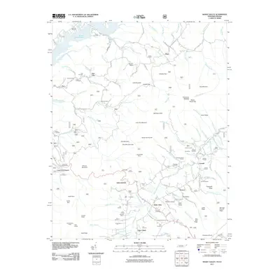
2011 Map of Shady Valley
USGS Topo · Published 2011About this map
Winchester and Shady Valley anchor this mountainous corridor along the Tennessee-Virginia border, where high ridges like Harp Mountain and Delaney Mountain define the settlement patterns. The landscape is marked by a deep history of small-scale resource extraction, evidenced by the cluster of prospects and operations such as Bentley Mine, Walker Mine, and the Maxwell Mine. These sites sit alongside Beaverdam Creek and its many tributaries, which provided the lifeblood for the agricultural and mining communities in the valleys below Little Pine Mountain.
Find a feature on this map
141 named features on this map. Tap any name to fly to it.
Don’t see what you’re looking for? This feature index may not catch every label — zoom into the map to look around manually.
Map Details
Editions of this 2011 Shady Valley Map
This is the sole edition of this map. No revisions or reprints were ever made.
Other maps of this area

1891 · Roan Mountain
USGS Topo · 1:125,000

1891 · Abingdon
USGS Topo · 1:125,000

1893 · Cranberry
USGS Topo · 1:125,000

1894 · Roan Mountain
USGS Topo · 1:125,000

1894 · Abingdon
USGS Topo · 1:125,000

1895 · Cranberry
USGS Topo · 1:125,000

1897 · Bristol
USGS Topo · 1:125,000

1899 · Cranberry
USGS Topo · 1:125,000

1902 · Bristol
USGS Topo · 1:125,000

1902 · Cranberry
USGS Topo · 1:125,000