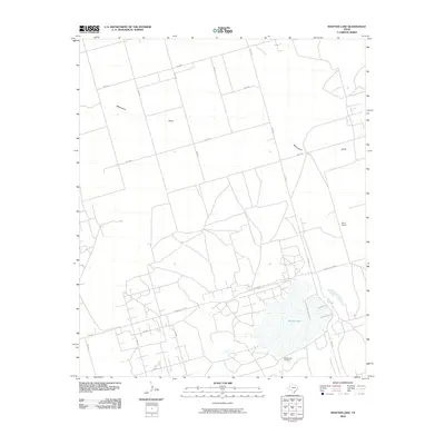
2010 Map of Shafter Lake
USGS Topo · Published 2010About this map
Shafter Lake dominates the southern portion of this Andrews County landscape, providing a geographic anchor for the surrounding High Plains terrain. The shoreline is marked by the presence of the Shafter Lake Cemetery, a significant site for local genealogical research and historical interest. The area is defined by a grid of rural routes, including the Frankel City Hwy and FM 1967, which connect the scattered ranching operations and oil-related infrastructure of the Permian Basin.
Find a feature on this map
19 named features on this map. Tap any name to fly to it.
Don’t see what you’re looking for? This feature index may not catch every label — zoom into the map to look around manually.
Map Details
Editions of this 2010 Shafter Lake Map
This is the sole edition of this map. No revisions or reprints were ever made.
Other maps of this area

1954 · Hobbs
USGS Topo · 1:250,000

1958 · Hobbs
USGS Topo · 1:250,000

1963 · Andrews
USGS Topo · 1:24,000

1969 · Seminole SW
USGS Topo · 1:24,000

1970 · Seminole SE
USGS Topo · 1:24,000

1971 · Paynes Corner SE
USGS Topo · 1:24,000

1971 · Florey
USGS Topo · 1:24,000

1971 · Frankel City
USGS Topo · 1:24,000

1971 · Whalen Lake
USGS Topo · 1:24,000

1971 · Shafter Lake
USGS Topo · 1:24,000