
1952 Map of Shamokin
USGS Topo · Published 1954About this map
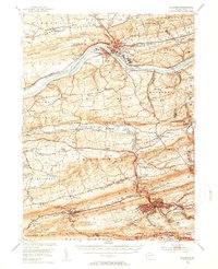
The Susquehanna River cuts through the heart of the anthracite coal region, separating Riverside and Danville at the base of Montour Ridge. This 1950s era survey illustrates a dense industrial and institutional landscape, anchored by the sprawling grounds of the State Hospital and Geisinger Hospital in the north. The southern half of the map is dominated by the narrow, coal-rich corridors of Big Mountain and Brush Valley, where the Reading and Pennsylvania railroads serviced heavy mining activity near Trevorton and Shamokin.
Find a feature on this map
107 named features on this map. Tap any name to fly to it.
Don’t see what you’re looking for? This feature index may not catch every label — zoom into the map to look around manually.
Map Details
Editions of this 1952 Shamokin Map
3 editions found
Historical Maps of Shamokin Through Time
10 maps found

1892 Shamokin
Northumberland County, PA
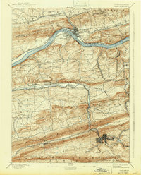
1893 Shamokin
Northumberland County, PA

1943 Shamokin
Northumberland County, PA
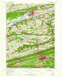
1952 Shamokin
Northumberland County, PA
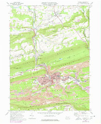
1969 Shamokin
Northumberland County, PA
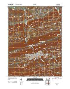
2010 Shamokin
Northumberland County, PA
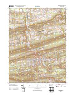
2013 Shamokin
Northumberland County, PA

2016 Shamokin
Northumberland County, PA
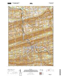
2019 Shamokin
Northumberland County, PA
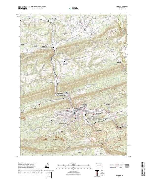
2023 Shamokin
Northumberland County, PA