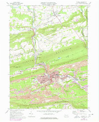
1969 Map of Shamokin
USGS Topo · Published 1978About this map
Shamokin sits at the heart of this late-twentieth-century study, where the intense industrial legacy of coal mining is etched into the landscape. The town is surrounded by extensive Strip Mines and geographic barriers like Big Mountain and Mahanoy Mountain, illustrating the tight spatial relationship between anthracite production and urban settlement. Conrail lines thread through narrow valleys to service the collieries, while an Incline Railway and various Weigh Scales point to the heavy logistics required to move fuel from the valley floor. Beyond the industrial core, the map captures suburban and rural development in places like Elysburg and Paxinos. Local institutional history is well-represented, featuring the Shamokin State Hospital, IOOF Cem, and the Northumberland County Airport, providing a detailed look at the infrastructure supporting the community during this era.
Find a feature on this map
75 named features on this map. Tap any name to fly to it.
Don’t see what you’re looking for? This feature index may not catch every label — zoom into the map to look around manually.
Map Details
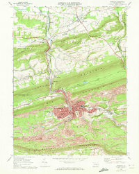
Editions of this 1969 Shamokin Map
2 editions found
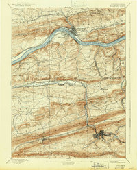
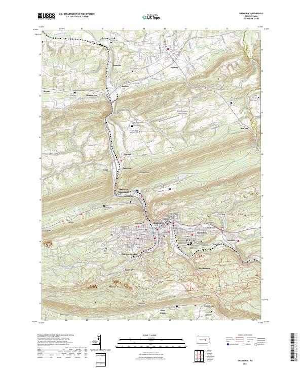
Historical Maps of Shamokin Through Time
6 maps found


Featured Locations
- West Cameron Township, PA
- Zerbe Township, PA
- Shamokin, PA
- Shamokin Township, PA
- Elysburg, Ralpho Township