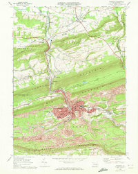
1969 Map of Shamokin
USGS Topo · Published 1972About this map
Shamokin and its neighboring coal-region boroughs dominate this late 1960s landscape, where industrial activity and residential neighborhoods are deeply integrated with the steep terrain of the Pennsylvania anthracite belt. The map reveals the dense settlement patterns of communities like Edgewood, Fairview, and Ranshaw, all situated amidst extensive Strip Mines and the infrastructure of the Penn Central and Reading railroads.
Find a feature on this map
82 named features on this map. Tap any name to fly to it.
Don’t see what you’re looking for? This feature index may not catch every label — zoom into the map to look around manually.
Map Details
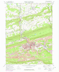
Editions of this 1969 Shamokin Map
2 editions found
Other maps of this area

1889 · Catawissa
USGS Topo · 1:62,500

1892 · Catawissa
USGS Topo · 1:62,500

1892 · Lykens
USGS Topo · 1:62,500

1892 · Shamokin
USGS Topo · 1:62,500

1892 · Pine Grove
USGS Topo · 1:62,500

1893 · Lykens
USGS Topo · 1:62,500

1893 · Shamokin
USGS Topo · 1:62,500

1894 · Catawissa
USGS Topo · 1:62,500

1943 · Lykens
USGS Topo · 1:62,500

1943 · Shamokin
USGS Topo · 1:62,500
Featured Places
- Shamokin, PA
- Elysburg, Ralpho Township
- West Cameron Township, PA
- Zerbe Township, PA
- Shamokin Township, PA