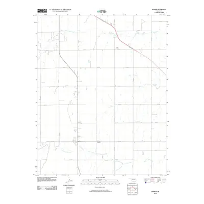
2010 Map of Sharon
USGS Topo · Published 2010About this map
Sharon serves as the central hub for this portion of Woodward County, situated amidst a landscape defined by its branching waterway systems. The drainage patterns are dominated by the three forks of Persimmon Creek, with North Persimmon Creek, South Persimmon Creek, and the main stem of Persimmon Creek carving through the southern terrain. To the north, Indian Creek and Sand Creek contribute to the varied topography of this Oklahoma plains region.
Find a feature on this map
26 named features on this map. Tap any name to fly to it.
Don’t see what you’re looking for? This feature index may not catch every label — zoom into the map to look around manually.
Map Details
Editions of this 2010 Sharon Map
This is the sole edition of this map. No revisions or reprints were ever made.
Other maps of this area

1955 · Woodward
USGS Topo · 1:250,000

1958 · Woodward
USGS Topo · 1:250,000

1969 · Vici NW
USGS Topo · 1:24,000

1969 · Woodward SW
USGS Topo · 1:24,000

1969 · Woodward
USGS Topo · 1:24,000

1969 · Mooreland
USGS Topo · 1:24,000

1969 · Sharon
USGS Topo · 1:24,000

1969 · Woodward NE
USGS Topo · 1:24,000

1969 · Mooreland SW
USGS Topo · 1:24,000

1969 · Mutual
USGS Topo · 1:24,000