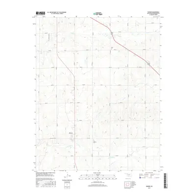
2016 Map of Sharon
USGS Topo · Published 2016About this map
Sharon occupies the western edge of this 2016 survey, sitting as a focal point for the section-line road network that defines the Woodward County landscape. The town serves as a local hub for the surrounding agricultural tracts, with Sharon Shattuck Rd extending westward toward the county line. The topography is subtly shaped by the drainage basins of several watercourses, most notably Indian Cr in the north and the converging branches of N Persimmon Cr and S Persimmon Cr to the south.
Find a feature on this map
34 named features on this map. Tap any name to fly to it.
Don’t see what you’re looking for? This feature index may not catch every label — zoom into the map to look around manually.
Map Details
Editions of this 2016 Sharon Map
This is the sole edition of this map. No revisions or reprints were ever made.
Other maps of this area

1955 · Woodward
USGS Topo · 1:250,000

1958 · Woodward
USGS Topo · 1:250,000

1969 · Vici NW
USGS Topo · 1:24,000

1969 · Woodward SW
USGS Topo · 1:24,000

1969 · Woodward
USGS Topo · 1:24,000

1969 · Mooreland
USGS Topo · 1:24,000

1969 · Sharon
USGS Topo · 1:24,000

1969 · Woodward NE
USGS Topo · 1:24,000

1969 · Mooreland SW
USGS Topo · 1:24,000

1969 · Mutual
USGS Topo · 1:24,000