Loading...
Loading map...2022 Map of Sharon
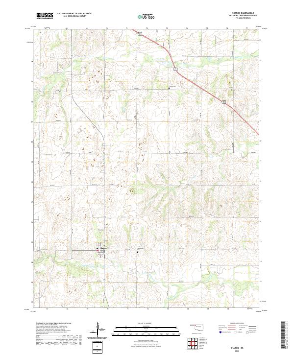
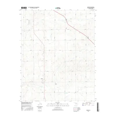
USGS Topo · Published 2022About this map
Sharon serves as the central hub of this northwestern Oklahoma landscape, situated at the junction of Sharon Shattuck Rd and Section Line roads. The town's small footprint includes a localized Po, anchoring a community defined by its agricultural grid and the winding drainage of N Persimmon Cr and S Persimmon Cr. The terrain is characterized by these seasonal watercourses, which break the geometric precision of the Section Line road system, such as e0500 RD and NS 206 RD.
Find a feature on this map
39 named features on this map. Tap any name to fly to it.
Don’t see what you’re looking for? This feature index may not catch every label — zoom into the map to look around manually.
Map Details
Date Portrayed2022
Date Published2022
PublisherU.S. Geological Survey
Map TypeTopographic
Scale1:24,000
Physical Dimensions24 x 29 inches
Editions of this 2022 Sharon Map
This is the sole edition of this map. No revisions or reprints were ever made.
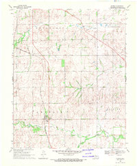
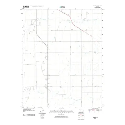
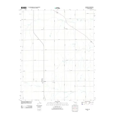
Historical Maps of Sharon Through Time
6 maps found

Featured Locations
Source Details
SourceU.S. Geological Survey
CopyrightPublic Domain