
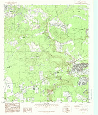
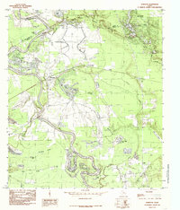
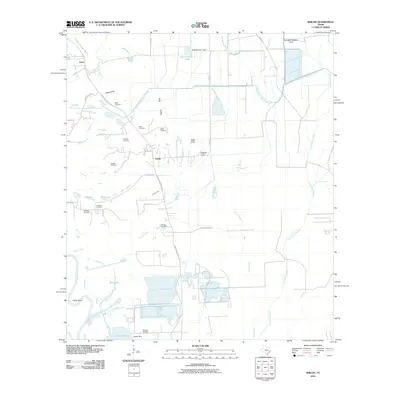
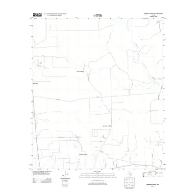
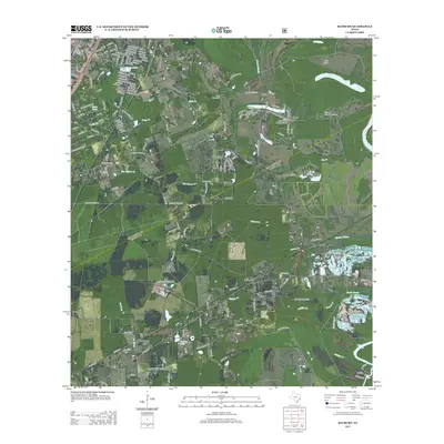
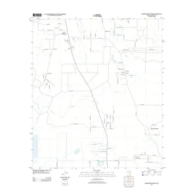
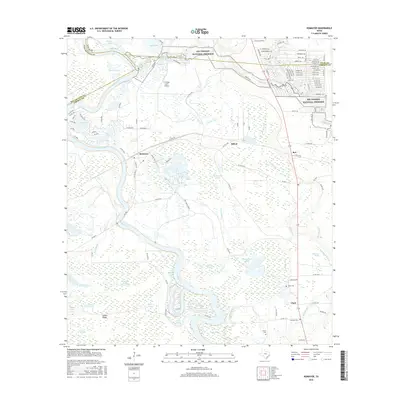
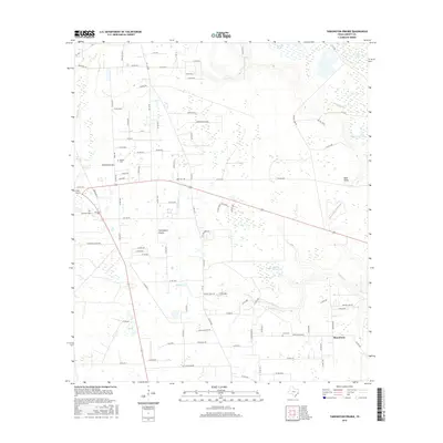
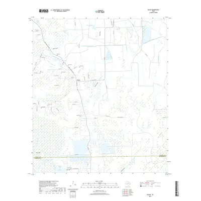
1982 Map of Sheeks
USGS Topo · Published 1982About this map
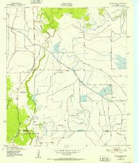
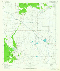
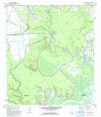
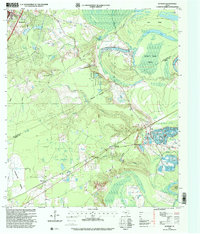
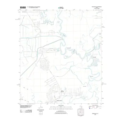
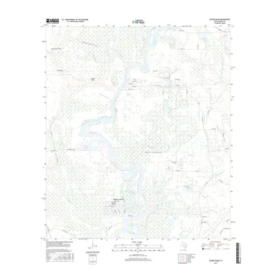
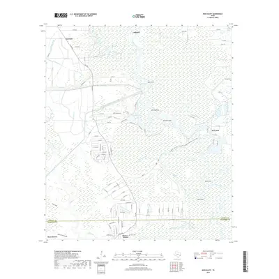
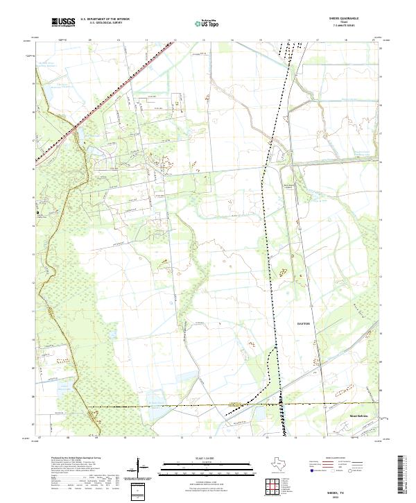
The Esperson D.O.M.E. Oil Field dominates the western landscape of this early 1980s survey, illustrating the intensive industrial footprint of petroleum extraction in coastal Texas. A dense network of oil wells, storage bins, and pipelines surrounds the small settlement of Sheeks and its nearby Roadside Park, while a massive Radio Tower stands as a prominent landmark. The terrain is defined by a complex hydraulic system, where the Dayton Canal and Barbers Hill Canal intersect with natural features like Hickory Island and the meandering Cedar Bayou.
Find a feature on this map
38 named features on this map. Tap any name to fly to it.
Don’t see what you’re looking for? This feature index may not catch every label — zoom into the map to look around manually.
Map Details
Editions of this 1982 Sheeks Map
This is the sole edition of this map. No revisions or reprints were ever made.
Historical Maps of Dayton Through Time
74 maps found
1943 Whites Bayou
Liberty County, TX
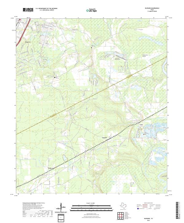
1955 Rayburn
Liberty County, TX
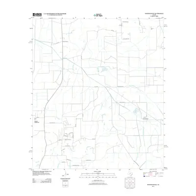
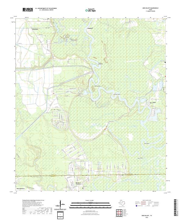
1961 Moss Bluff
Liberty County, TX

1961 Sheeks
Liberty County, TX
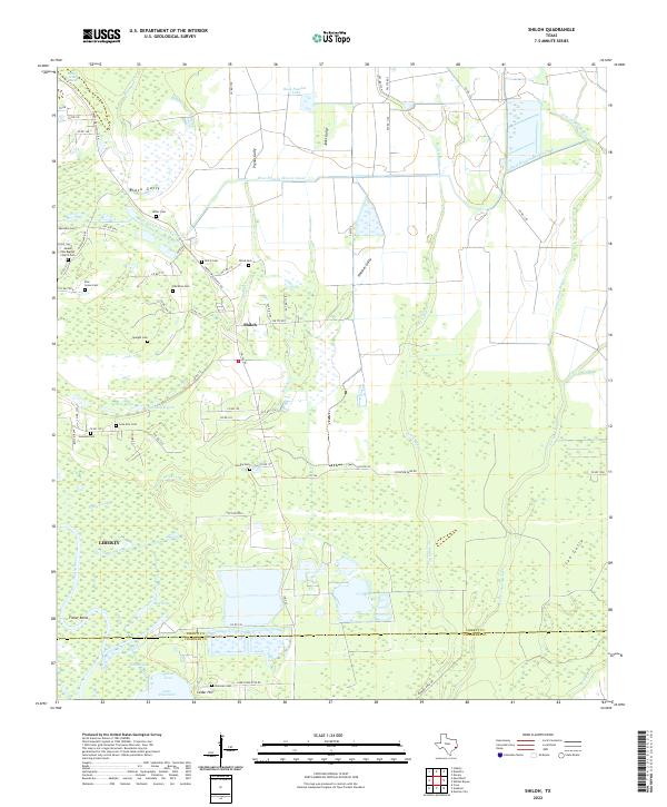
1961 Shiloh
Liberty County, TX
1961 Whites Bayou
Liberty County, TX
1982 Sheeks
Liberty County, TX
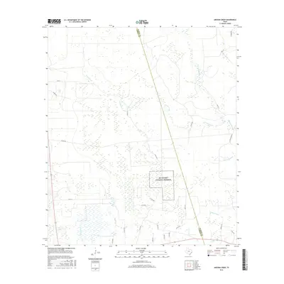
1984 Arizona Creek
Liberty County, TX
1984 Capers Ridge
Liberty County, TX
1984 Davis Hill
Liberty County, TX
1984 Rayburn
Liberty County, TX
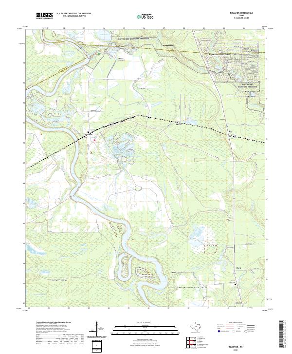
1984 Romayor
Liberty County, TX
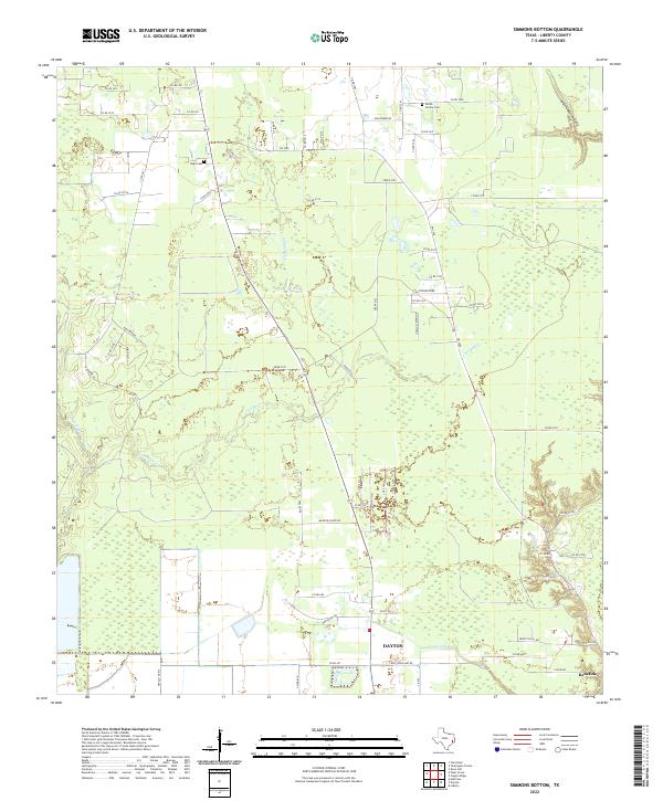
1984 Simmons Bottom
Liberty County, TX
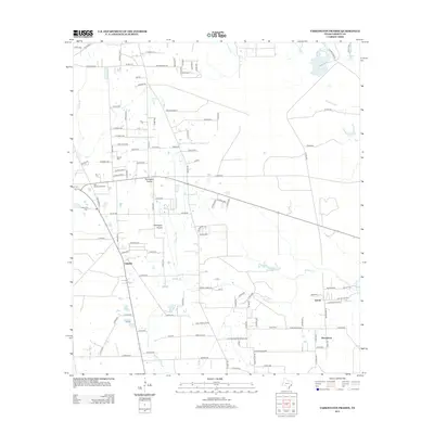
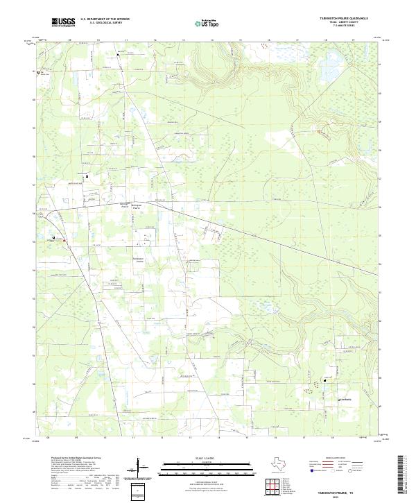
1984 Tarkington Prairie
Liberty County, TX
1993 Moss Bluff
Liberty County, TX
1993 Sheeks
Liberty County, TX
1993 Shiloh
Liberty County, TX
1994 Whites Bayou
Liberty County, TX
1997 Rayburn
Liberty County, TX
2010 Arizona Creek
Liberty County, TX
2010 Capers Ridge
Liberty County, TX
2010 Davis Hill
Liberty County, TX
2010 Moss Bluff
Liberty County, TX
2010 Rayburn
Liberty County, TX
2010 Romayor
Liberty County, TX
2010 Sheeks
Liberty County, TX
2010 Shiloh
Liberty County, TX
2010 Simmons Bottom
Liberty County, TX
2010 Tarkington Prairie
Liberty County, TX
2010 Whites Bayou
Liberty County, TX
2013 Arizona Creek
Liberty County, TX
2013 Capers Ridge
Liberty County, TX
2013 Davis Hill
Liberty County, TX
2013 Moss Bluff
Liberty County, TX
2013 Rayburn
Liberty County, TX
2013 Romayor
Liberty County, TX
2013 Sheeks
Liberty County, TX
2013 Shiloh
Liberty County, TX
2013 Simmons Bottom
Liberty County, TX
2013 Tarkington Prairie
Liberty County, TX
2013 Whites Bayou
Liberty County, TX
2016 Arizona Creek
Liberty County, TX
2016 Capers Ridge
Liberty County, TX
2016 Davis Hill
Liberty County, TX
2016 Moss Bluff
Liberty County, TX
2016 Rayburn
Liberty County, TX
2016 Romayor
Liberty County, TX
2016 Sheeks
Liberty County, TX
2016 Shiloh
Liberty County, TX
2016 Simmons Bottom
Liberty County, TX
2016 Tarkington Prairie
Liberty County, TX
2016 Whites Bayou
Liberty County, TX

2019 Arizona Creek
Liberty County, TX
2019 Capers Ridge
Liberty County, TX
2019 Davis Hill
Liberty County, TX
2019 Moss Bluff
Liberty County, TX
2019 Rayburn
Liberty County, TX
2019 Romayor
Liberty County, TX
2019 Sheeks
Liberty County, TX
2019 Shiloh
Liberty County, TX
2019 Simmons Bottom
Liberty County, TX
2019 Tarkington Prairie
Liberty County, TX
2019 Whites Bayou
Liberty County, TX
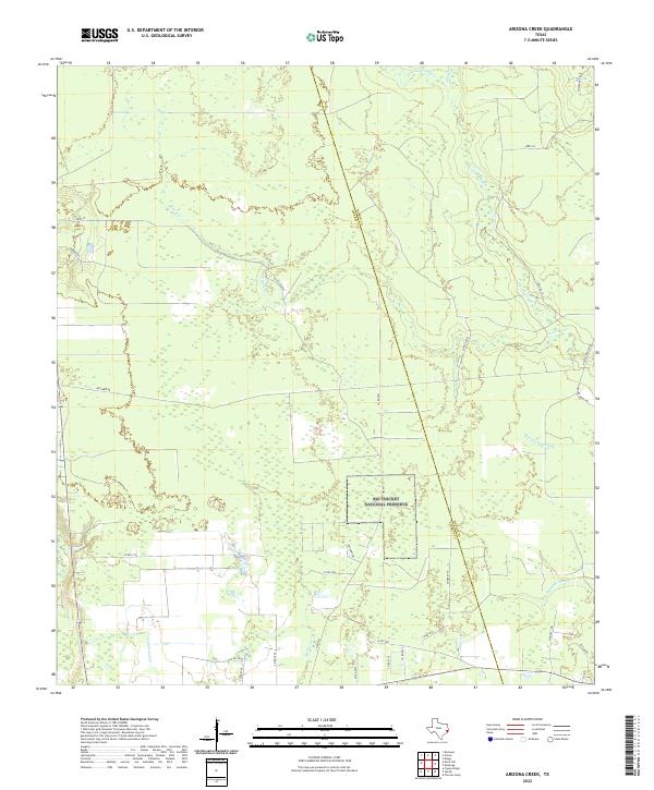
2022 Arizona Creek
Liberty County, TX
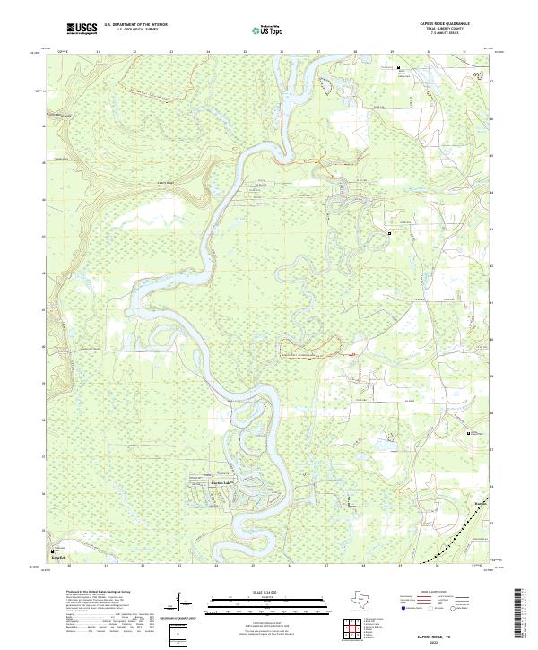
2022 Capers Ridge
Liberty County, TX
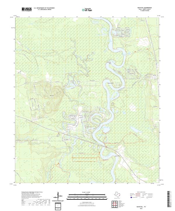
2022 Davis Hill
Liberty County, TX
2022 Moss Bluff
Liberty County, TX
2022 Rayburn
Liberty County, TX
2022 Romayor
Liberty County, TX
2022 Sheeks
Liberty County, TX
2022 Shiloh
Liberty County, TX
2022 Simmons Bottom
Liberty County, TX
2022 Tarkington Prairie
Liberty County, TX
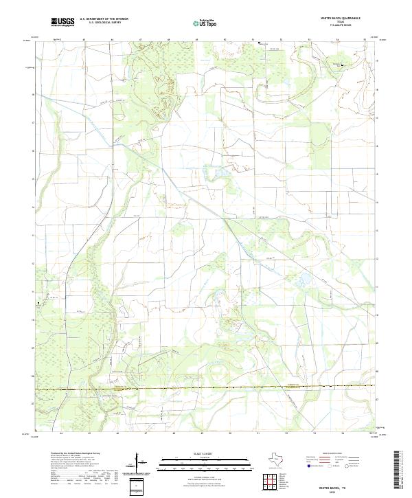
2022 Whites Bayou
Liberty County, TX