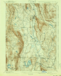
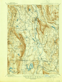
1897 Map of Sheffield
USGS Topo · Published 1941About this map
The Housatonic River winds through this tri-state corner where Massachusetts, Connecticut, and New York converge. Surveyed in the mid-1880s, the landscape is defined by the steep rises of the Taconic Range to the west, including Mt Everett and the dramatic Bashbish Falls, and the Beartown Mountain highlands to the east. The valley floor is a corridor of industrial and transit activity, centered on Great Barrington and Sheffield. The Berkshire Div of the New York, New Haven & Hartford railroad connects these hubs, passing through Berkshire Heights and Ashley Falls. To the south in Connecticut, the village of Canaan serves as a vital rail junction, while the presence of Sodom Cem and the small settlement of Gommorah offer intriguing glimpses into 19th-century local nomenclature and community life near the Twin Lakes region.
Find a feature on this map
137 named features on this map. Tap any name to fly to it.
Don’t see what you’re looking for? This feature index may not catch every label — zoom into the map to look around manually.
Map Details
Editions of this 1897 Sheffield Map
10 editions found

1897 edition
15.7 x 19.3 inches
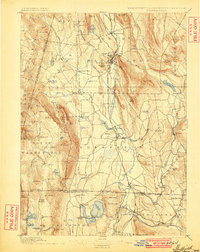
1900 edition
15.7 x 19.8 inches
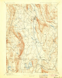
1904 edition
15.7 x 19.8 inches
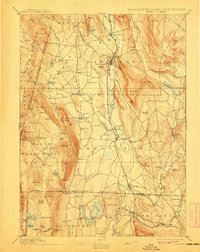
1908 edition
15.7 x 19.9 inches
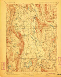
1911 edition
15.7 x 19.8 inches
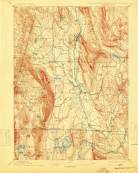
1915 edition
15.7 x 19.8 inches
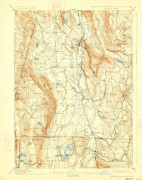
1926 edition
15.7 x 19.9 inches
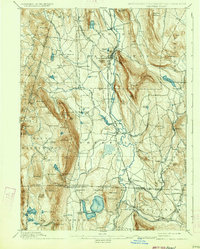
1934 edition
15.7 x 19.6 inches
1941 edition
15.7 x 19.7 inches
1946 edition
15.8 x 20.7 inches
Other maps of this area

1885 · Sheffield
USGS Topo · 1:62,500

1886 · Becket
USGS Topo · 1:62,500

1888 · Sheffield
USGS Topo · 1:62,500

1888 · Becket
USGS Topo · 1:62,500

1888 · Sandisfield
USGS Topo · 1:62,500

1888 · Pittsfield
USGS Topo · 1:62,500

1890 · Pittsfield
USGS Topo · 1:62,500

1891 · Sheffield
USGS Topo · 1:62,500

1892 · Winsted
USGS Topo · 1:62,500

1892 · Cornwall
USGS Topo · 1:62,500