
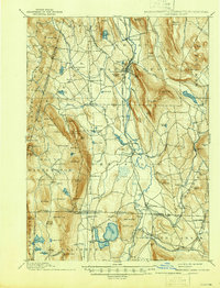
1897 Map of Sheffield
USGS Topo · Published 1897About this map
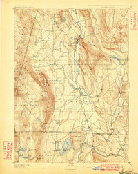
Great Barrington and Sheffield serve as the primary hubs in this late 19th-century survey of the Housatonic valley. The New York New Haven & Hartford RR traces the course of the Housatonic River, connecting industrialized pockets like Van Deusenville and Ashley Falls. To the west, the landscape rises sharply into the Taconic Range, dominated by peaks like Mt Everett and Mt Bushnell, where isolated settlements like Mt Washington and institutions such as the Union Church are nestled among the highlands. The map captures a complex tri-state border region where the commerce of the valley, centered on the railroad and river, meets the agricultural plains of Egremont Plain and the rocky summits along the New York Massachusetts boundary. Further south, the map reveals the village of Canaan and the Chapinville Station as the rail network extends into northern Connecticut.
Find a feature on this map
140 named features on this map. Tap any name to fly to it.
Don’t see what you’re looking for? This feature index may not catch every label — zoom into the map to look around manually.
Map Details
Editions of this 1897 Sheffield Map
10 editions found
1897 edition
15.7 x 19.3 inches
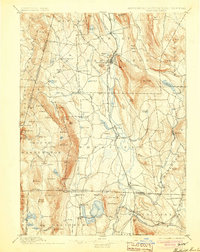
1900 edition
15.7 x 19.8 inches
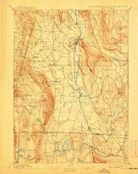
1904 edition
15.7 x 19.8 inches
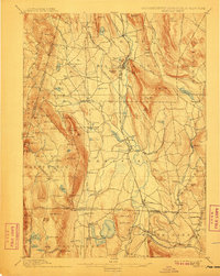
1908 edition
15.7 x 19.9 inches
1911 edition
15.7 x 19.8 inches
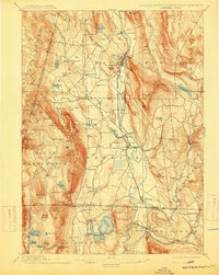
1915 edition
15.7 x 19.8 inches
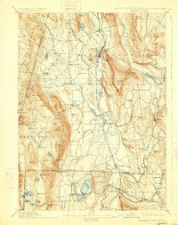
1926 edition
15.7 x 19.9 inches
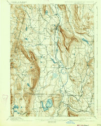
1934 edition
15.7 x 19.6 inches
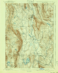
1941 edition
15.7 x 19.7 inches
1946 edition
15.8 x 20.7 inches
Other maps of this area

1885 · Sheffield
USGS Topo · 1:62,500

1886 · Becket
USGS Topo · 1:62,500

1888 · Sheffield
USGS Topo · 1:62,500

1888 · Becket
USGS Topo · 1:62,500

1888 · Sandisfield
USGS Topo · 1:62,500

1888 · Pittsfield
USGS Topo · 1:62,500

1890 · Pittsfield
USGS Topo · 1:62,500

1891 · Sheffield
USGS Topo · 1:62,500

1892 · Winsted
USGS Topo · 1:62,500

1892 · Cornwall
USGS Topo · 1:62,500