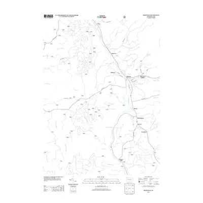
2013 Map of Sheffield
USGS Topo · Published 2013About this map
Sheffield serves as the primary hub of this northern Pennsylvania landscape, situated where the Tionesta Cr valley meets several tributary hollows. The settlement pattern follows the drainage network of the Allegheny National Forest region, with small hamlets like Saybrook, Milltown, and Henrys Mills established along the watercourses. Further south, the distinction between Sheffield and Old Sheffield reflects the area's development over time, while names like Shelander Hollow and Donaldson point to the local family histories of Warren County. The terrain is defined by significant ridges and summits, most notably Bull Hill, which separates the drainages of Arnot Run and Minister Cr. This 2013 survey provides a clear view of the modern road network, including Austin Hill Rd and Firetower Rd, cutting through the dense network of runs and creeks that feed into the larger Tionesta system.
Find a feature on this map
50 named features on this map. Tap any name to fly to it.
Don’t see what you’re looking for? This feature index may not catch every label — zoom into the map to look around manually.
Map Details
Editions of this 2013 Sheffield Map
This is the sole edition of this map. No revisions or reprints were ever made.
Other maps of this area

1906 · Warren
USGS Topo · 1:62,500

1907 · Warren
USGS Topo · 1:62,500

1908 · Warren
USGS Topo · 1:62,500

1934 · Kane
USGS Topo · 1:48,000

1935 · Sheffield
USGS Topo · 1:48,000

1936 · Kinzua
USGS Topo · 1:48,000

1939 · Kane
USGS Topo · 1:62,500

1941 · Sheffield
USGS Topo · 1:62,500

1941 · Kinzua
USGS Topo · 1:62,500

1947 · Cherry Grove
USGS Topo · 1:24,000