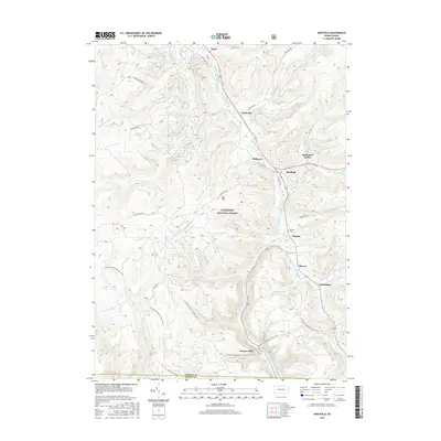
2016 Map of Sheffield
USGS Topo · Published 2016About this map
The confluence of the West Branch Tionesta Creek and South Branch Tionesta Creek anchors this portion of the Allegheny National Forest. The settlement of Sheffield serves as a central hub, surrounded by smaller historical clusters such as Milltown, Saybrook, and Barnes. The landscape is defined by its deep drainage networks, where numerous runs like Duck Eddy Run, Rock Run, and Dunham Run carve through the plateau towards the main creek valley.
Find a feature on this map
48 named features on this map. Tap any name to fly to it.
Don’t see what you’re looking for? This feature index may not catch every label — zoom into the map to look around manually.
Map Details
Editions of this 2016 Sheffield Map
This is the sole edition of this map. No revisions or reprints were ever made.
Other maps of this area

1906 · Warren
USGS Topo · 1:62,500

1907 · Warren
USGS Topo · 1:62,500

1908 · Warren
USGS Topo · 1:62,500

1934 · Kane
USGS Topo · 1:48,000

1935 · Sheffield
USGS Topo · 1:48,000

1936 · Kinzua
USGS Topo · 1:48,000

1939 · Kane
USGS Topo · 1:62,500

1941 · Sheffield
USGS Topo · 1:62,500

1941 · Kinzua
USGS Topo · 1:62,500

1947 · Cherry Grove
USGS Topo · 1:24,000