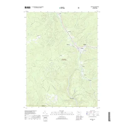
2019 Map of Sheffield
USGS Topo · Published 2019About this map
Allegheny National Forest dominates this section of the Pennsylvania highlands, where narrow valleys dictate the pattern of settlement and transit. The main drainage of Tionesta Creek and its many tributaries, including West Branch Tionesta Creek and South Branch Tionesta Creek, create a deeply incised landscape where small communities like Saybrook, Milltown, and Barnes are clustered along the water and valley roads. The map reveals the intersection of conservation and recreation, most notably with the winding path of the N Country National Scenic Trail as it traverses the ridges and hollows.
Find a feature on this map
48 named features on this map. Tap any name to fly to it.
Don’t see what you’re looking for? This feature index may not catch every label — zoom into the map to look around manually.
Map Details
Editions of this 2019 Sheffield Map
This is the sole edition of this map. No revisions or reprints were ever made.
Other maps of this area

1906 · Warren
USGS Topo · 1:62,500

1907 · Warren
USGS Topo · 1:62,500

1908 · Warren
USGS Topo · 1:62,500

1934 · Kane
USGS Topo · 1:48,000

1935 · Sheffield
USGS Topo · 1:48,000

1936 · Kinzua
USGS Topo · 1:48,000

1939 · Kane
USGS Topo · 1:62,500

1941 · Sheffield
USGS Topo · 1:62,500

1941 · Kinzua
USGS Topo · 1:62,500

1947 · Cherry Grove
USGS Topo · 1:24,000