Loading...
Loading map...2022 Map of Shelburn
USGS Topo · Published 2022About this map
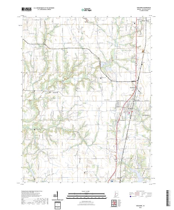
Shelburn and its neighboring communities are situated within the agricultural expanse of Curry Prairie in northern Sullivan County. This 2022 survey documents the contemporary arrangement of small Indiana settlements, including Farmersburg, Standard, and Curryville. The landscape is defined by the grid of county roads that intersect long-standing landmarks such as Little Flock Cem and McKinney Cem.
Find a feature on this map
74 named features on this map. Tap any name to fly to it.
Don’t see what you’re looking for? This feature index may not catch every label — zoom into the map to look around manually.
Map Details
Date Portrayed2022
Date Published2022
PublisherU.S. Geological Survey
Map TypeTopographic
Scale1:24000
Physical Dimensions24 x 29 inches
Editions of this 2022 Shelburn Map
This is the sole edition of this map. No revisions or reprints were ever made.
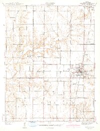
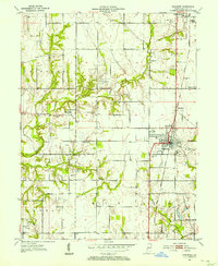
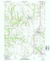
Historical Maps of Campbell Corner Through Time
4 maps found
Featured Locations
Source Details
SourceU.S. Geological Survey
CopyrightPublic Domain