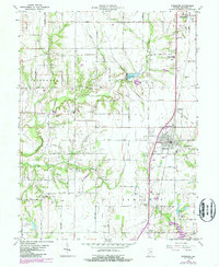
1963 Map of Shelburn
USGS Topo · Published 1987About this map
Shelburn and Farmersburg anchor this Indiana landscape, situated within a grid of county roads that reflect the agricultural and industrial character of Sullivan County. The mid-century era is documented through numerous Oil Wells scattered across Fairbanks and Curry townships, while the path of the Csxt railroad and fragments of an Old Railroad Grade illustrate the shifting transportation network. Water features like Turman Creek and Sugar Creek carve through the terrain, occasionally interrupted by industrial sites such as Thunderbird Pond and various Tailings Ponds. For genealogists, the map is particularly rich in family history markers, including West Lawn Cem, Little Flock Cem, and rural churches like Ebenezer Ch, providing exact locations for local landmarks and smaller crossroads communities such as Curryville and Scott City.
Find a feature on this map
63 named features on this map. Tap any name to fly to it.
Don’t see what you’re looking for? This feature index may not catch every label — zoom into the map to look around manually.
Map Details
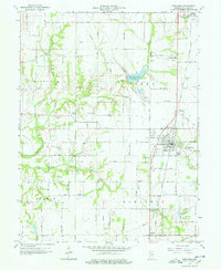
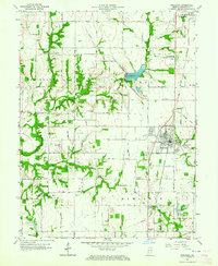
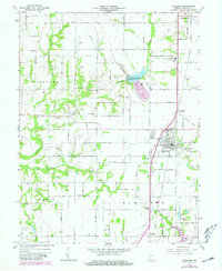
Editions of this 1963 Shelburn Map
4 editions found
Other maps of this area

1932 · Marshall
USGS Topo · 1:62,500

1937 · Marshall
USGS Topo · 1:62,500

1940 · Lewis
USGS Topo · 1:24,000

1940 · Pimento
USGS Topo · 1:24,000

1942 · Fairbanks
USGS Topo · 1:24,000

1942 · Shelburn
USGS Topo · 1:24,000

1942 · Hutton
USGS Topo · 1:24,000

1943 · Merom
USGS Topo · 1:24,000

1943 · Hymera
USGS Topo · 1:24,000

1943 · Sullivan
USGS Topo · 1:24,000