Loading...
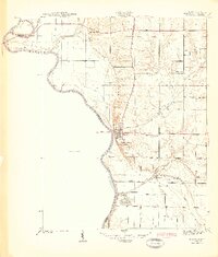
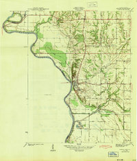
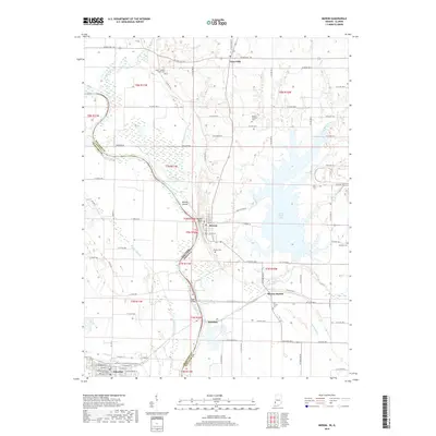
Loading map...1943 Map of Merom
USGS Topo · Published 1943About this map
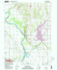
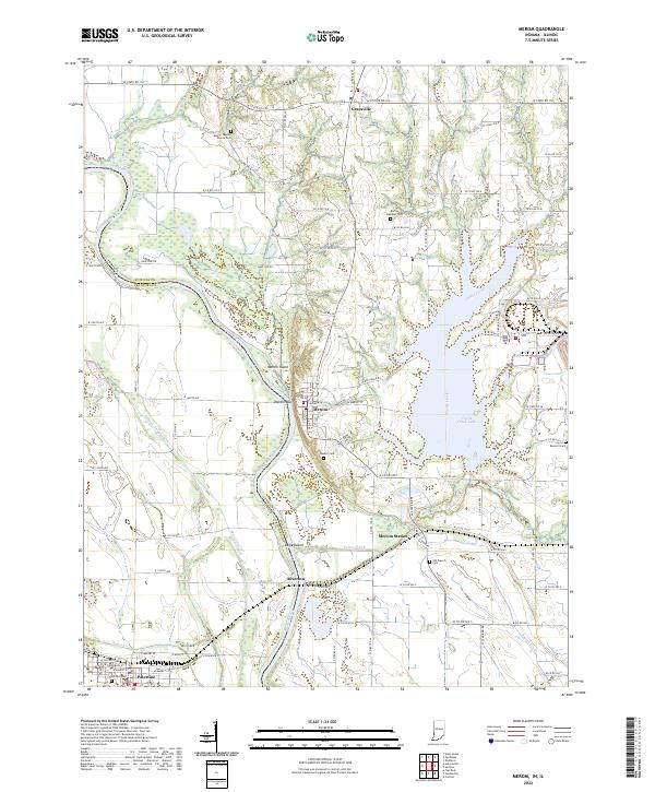
The Wabash River serves as the dominant natural boundary on this 1941 survey, carving a winding path between Indiana and Illinois. High on the bluffs overlooking the river, the village of Merom stands as a focal point, featuring the notable Merom Institute and a local cemetery network that includes Massey Cem and Bennett Cem. The landscape reflects a mix of agrarian settlement and river-dependent industry, evidenced by the Merom Gravel Pits located near the small riverside community of Riverton.
Find a feature on this map
29 named features on this map. Tap any name to fly to it.
Don’t see what you’re looking for? This feature index may not catch every label — zoom into the map to look around manually.
Map Details
Date Portrayed1943
Date Published1943
PublisherU.S. Geological Survey
Map TypeTopographic
Scale1:24,000
Physical Dimensions23.64 x 27.77 inches
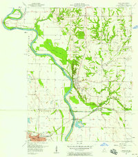
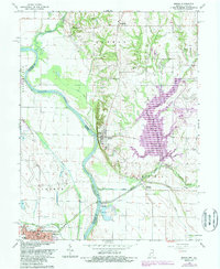
Editions of this 1943 Merom Map
2 editions found
Historical Maps of Palestine Through Time
9 maps found
Featured Locations
Source Details
SourceU.S. Geological Survey
CopyrightPublic Domain