
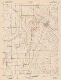
1943 Map of Carlisle
USGS Topo · Published 1943About this map
The town of Carlisle and the surrounding farmland of southern Indiana define this early 1940s landscape, where a dense network of family and community cemeteries reflects generations of rural settlement. The Chicago and Eastern Illinois Railroad serves as a primary transit spine, cutting through a topography shaped by Busseron Creek and its many tributaries, including Tanyard Branch and Marsh Creek.
Find a feature on this map
30 named features on this map. Tap any name to fly to it.
Don’t see what you’re looking for? This feature index may not catch every label — zoom into the map to look around manually.
Map Details
Editions of this 1943 Carlisle Map
2 editions found
Other maps of this area

1917 · Birds
USGS Topo · 1:62,500

1942 · Birds
USGS Topo · 1:62,500

1943 · Merom
USGS Topo · 1:24,000

1943 · Oaktown
USGS Topo · 1:24,000

1943 · Bicknell
USGS Topo · 1:24,000

1943 · Sullivan
USGS Topo · 1:24,000

1943 · Dugger
USGS Topo · 1:24,000

1944 · Bucktown
USGS Topo · 1:24,000
1952 · Dugger
USGS Topo · 1:24,000

1953 · Indianapolis
USGS Topo · 1:250,000