
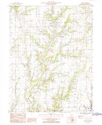
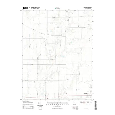
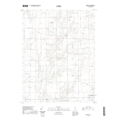
1942 Map of Birds
USGS Topo · Published 1958About this map
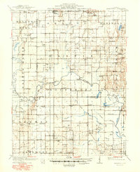
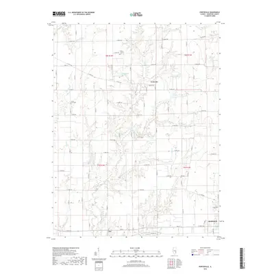
The Wabash River serves as the prominent boundary between Illinois and Indiana, framing a landscape defined by its river-bottom sloughs and the intensive grid of rural school districts. This 1942 update of earlier surveys captures the region as it transitioned into the mid-century, with the Chicago and Eastern Illinois and the Cleveland Cincinnati Chicago and St Louis railroads connecting agrarian centers like Flat Rock and Birds.
Find a feature on this map
91 named features on this map. Tap any name to fly to it.
Don’t see what you’re looking for? This feature index may not catch every label — zoom into the map to look around manually.
Map Details
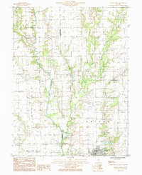
Editions of this 1942 Birds Map
This is the sole edition of this map. No revisions or reprints were ever made.
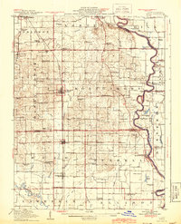
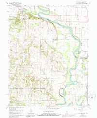
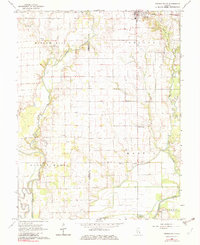
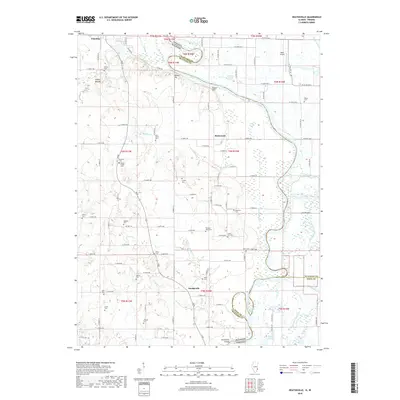
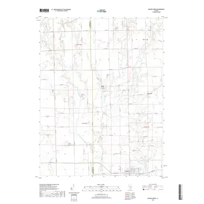
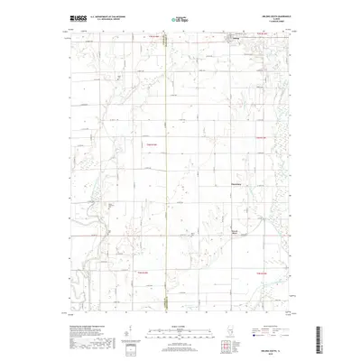
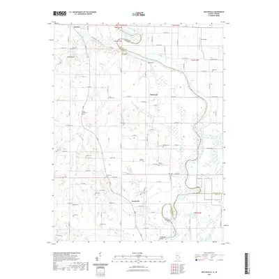
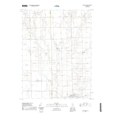
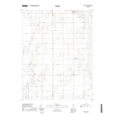
Historical Maps of Robinson Through Time
30 maps found
1910 Hardinville
Crawford County, IL
1917 Birds
Crawford County, IL
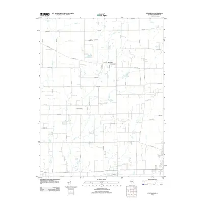
1942 Birds
Crawford County, IL
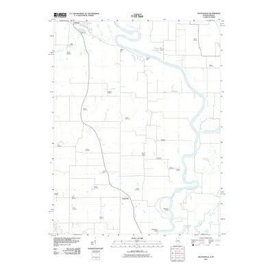
1964 Heathsville
Crawford County, IL
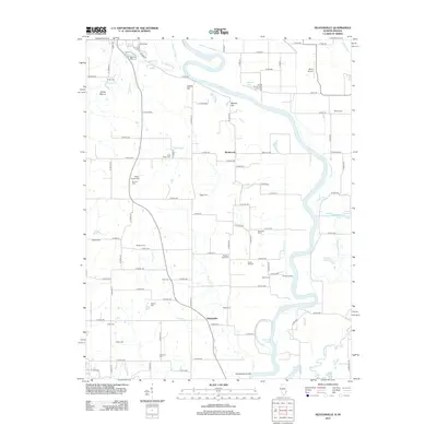
1968 Oblong South
Crawford County, IL
1985 Eaton
Crawford County, IL
1985 Oblong North
Crawford County, IL
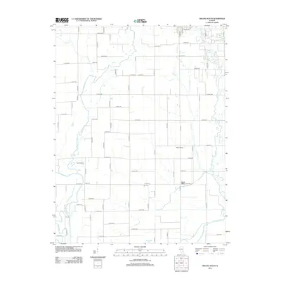
1998 Oblong North
Crawford County, IL
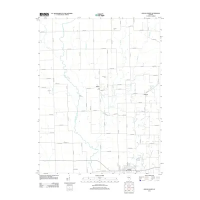
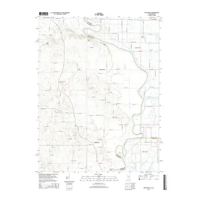
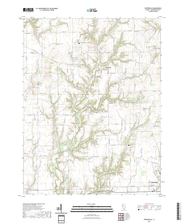
1998 Porterville
Crawford County, IL
2010 Heathsville
Crawford County, IL
2012 Heathsville
Crawford County, IL
2012 Oblong North
Crawford County, IL
2012 Oblong South
Crawford County, IL
2012 Porterville
Crawford County, IL
2015 Heathsville
Crawford County, IL
2015 Oblong North
Crawford County, IL
2015 Oblong South
Crawford County, IL
2015 Porterville
Crawford County, IL
2018 Heathsville
Crawford County, IL
2018 Oblong North
Crawford County, IL
2018 Oblong South
Crawford County, IL
2018 Porterville
Crawford County, IL
2021 Heathsville
Crawford County, IL
2021 Oblong North
Crawford County, IL
2021 Oblong South
Crawford County, IL
2021 Porterville
Crawford County, IL
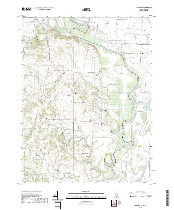
2024 Heathsville
Crawford County, IL
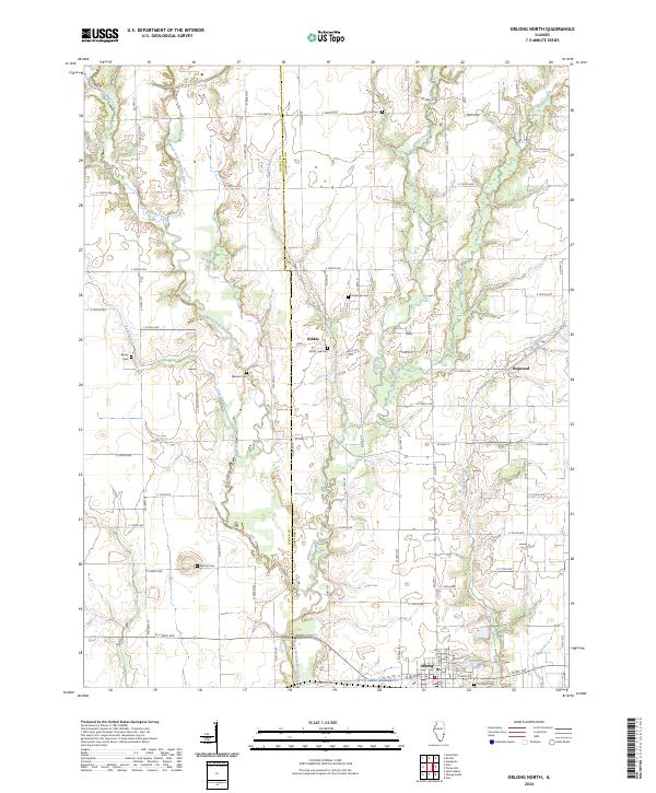
2024 Oblong North
Crawford County, IL
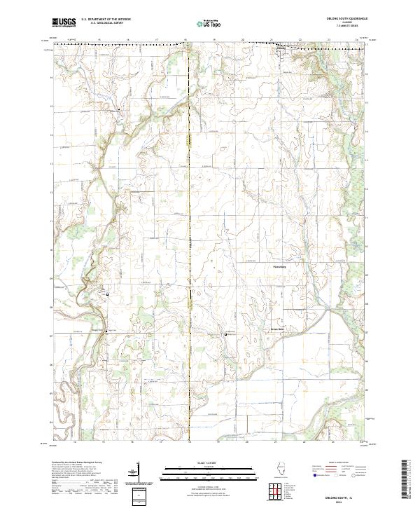
2024 Oblong South
Crawford County, IL
2024 Porterville
Crawford County, IL