
1915 Map of Vincennes
USGS Topo · Published 1915About this map
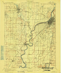
The Wabash River and its meandering oxbows define this riverine borderland between Illinois and Indiana, where the Embarrass River joins the main channel just south of Lawrenceville. This survey illustrates a landscape shaped by water and early infrastructure, featuring numerous ponds and barrens like the Sand Barrens and Beaver Pond. The urban center of Vincennes appears at a peak of its rail-era importance, served by major lines including the Baltimore and Ohio Southwestern RR. Beyond the larger towns, the rural character is captured through a dense network of one-room schools such as the Sand Ridge School, Crossroads School, and Plank Road School, alongside small rail stops like Billett and Purcell. The map also details the unique Vincennes Common, reflecting the area's distinct colonial land-grant history and communal heritage.
Find a feature on this map
81 named features on this map. Tap any name to fly to it.
Don’t see what you’re looking for? This feature index may not catch every label — zoom into the map to look around manually.
Map Details
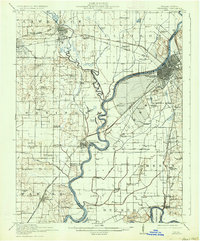
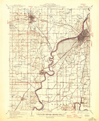
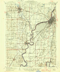
Editions of this 1915 Vincennes Map
5 editions found
Other maps of this area

1901 · Princeton
USGS Topo · 1:62,500

1902 · Ditney
USGS Topo · 1:125,000

1903 · Petersburg
USGS Topo · 1:62,500

1903 · Princeton
USGS Topo · 1:62,500

1903 · Patoka
USGS Topo · 1:125,000

1904 · Mount Carmel
USGS Topo · 1:62,500

1910 · Hardinville
USGS Topo · 1:62,500

1911 · Sumner
USGS Topo · 1:62,500

1913 · Sumner
USGS Topo · 1:62,500

1917 · Birds
USGS Topo · 1:62,500