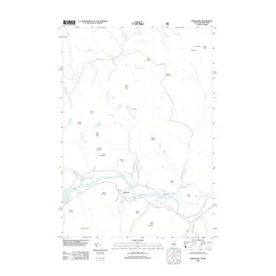
2012 Map of Shelburne
USGS Topo · Published 2012About this map
The Androscoggin River winds through the heart of Shelburne, New Hampshire, defining the valley between the high peaks of the White Mountains. This 2012 survey documents the river corridor and its relationship to the surrounding landscape, from the riverside community of Shelburne to the rugged interior. Local history and genealogy are centered near the river, where the Hazelton Cem serves as a primary marker of the area's early residents.
Find a feature on this map
68 named features on this map. Tap any name to fly to it.
Don’t see what you’re looking for? This feature index may not catch every label — zoom into the map to look around manually.
Map Details
Editions of this 2012 Shelburne Map
This is the sole edition of this map. No revisions or reprints were ever made.
Other maps of this area

1893 · Gorham
USGS Topo · 1:62,500

1896 · Gorham
USGS Topo · 1:62,500

1914 · Bethel
USGS Topo · 1:62,500

1930 · Milan
USGS Topo · 1:62,500

1933 · Milan
USGS Topo · 1:62,500

1934 · Milan
USGS Topo · 1:62,500

1937 · Gorham
USGS Topo · 1:48,000

1940 · Bethel
USGS Topo · 1:62,500

1941 · Bethel
USGS Topo · 1:62,500

1942 · Gorham
USGS Topo · 1:62,500