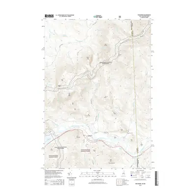
2015 Map of Shelburne
USGS Topo · Published 2015About this map
The Androscoggin River winds through the heart of this landscape, separating the high peaks of the White Mountain National Forest from the northern summits. The small settlement of Shelburne sits along the river valley, flanked by local landmarks like Mt Winthrop and Artist Rock. High-altitude water bodies such as Dream Lake and Page Pond are scattered among the steep terrain, while the Appalachian National Scenic Trail traverses the ridgeline near Mt Success and Carlo Col on the border of Maine and New Hampshire. Local history is anchored by family-named sites including Hazelton Cem and Lary Burbank Cem, alongside longstanding infrastructure like Philbrook Farm Rd and Lead Mine Rd. The mapping illustrates a classic New England river valley settlement pattern, where habitable land is tightly constrained between the water and the rising mountains.
Find a feature on this map
58 named features on this map. Tap any name to fly to it.
Don’t see what you’re looking for? This feature index may not catch every label — zoom into the map to look around manually.
Map Details
Editions of this 2015 Shelburne Map
This is the sole edition of this map. No revisions or reprints were ever made.
Other maps of this area

1893 · Gorham
USGS Topo · 1:62,500

1896 · Gorham
USGS Topo · 1:62,500

1914 · Bethel
USGS Topo · 1:62,500

1930 · Milan
USGS Topo · 1:62,500

1933 · Milan
USGS Topo · 1:62,500

1934 · Milan
USGS Topo · 1:62,500

1937 · Gorham
USGS Topo · 1:48,000

1940 · Bethel
USGS Topo · 1:62,500

1941 · Bethel
USGS Topo · 1:62,500

1942 · Gorham
USGS Topo · 1:62,500