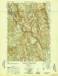
1949 Map of Shelburne Falls
USGS Topo · Published 1949About this map
The Deerfield River carves a deep valley through the Franklin County highlands, anchoring the village of Shelburne Falls. In this mid-century period, the regional transportation network is defined by the Boston and Maine Railroad following the river's path and the iconic Mohawk Trail winding through the hills. The landscape is dotted with small agricultural settlements like Bardwell, Conway, and West Deerfield, each connected by a web of narrow mountain roads such as Bardwell Road and Albany Road.
Find a feature on this map
62 named features on this map. Tap any name to fly to it.
Don’t see what you’re looking for? This feature index may not catch every label — zoom into the map to look around manually.
Map Details
Editions of this 1949 Shelburne Falls Map
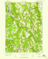
2 editions found
Other maps of this area

1885 · Northampton
USGS Topo · 1:62,500

1886 · Hawley
USGS Topo · 1:62,500

1886 · Chesterfield
USGS Topo · 1:62,500

1886 · Northampton
USGS Topo · 1:62,500

1888 · Chesterfield
USGS Topo · 1:62,500

1890 · Hawley
USGS Topo · 1:62,500

1890 · Greenfield
USGS Topo · 1:62,500

1891 · Northampton
USGS Topo · 1:62,500

1893 · Northampton
USGS Topo · 1:62,500

1893 · Chesterfield
USGS Topo · 1:62,500