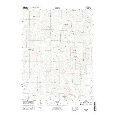
2015 Map of Shelby
USGS Topo · Published 2015About this map
Grantsville and its associated Grantsville Cemetery anchor the western reaches of this Linn County landscape, where small rural settlements are linked by a grid of named country roads. This modern survey reflects a region defined by agricultural heritage and a dense network of tributaries feeding into larger water systems. Bear Branch and Leverton sit further east, marking small nodes of activity within a terrain crisscrossed by numerous small streams including Bear Br, Wolf Br, and Plumb Br.
Find a feature on this map
42 named features on this map. Tap any name to fly to it.
Don’t see what you’re looking for? This feature index may not catch every label — zoom into the map to look around manually.
Map Details
Editions of this 2015 Shelby Map
This is the sole edition of this map. No revisions or reprints were ever made.
Other maps of this area

1946 · Brookfield
USGS Topo · 1:62,500

1948 · Brookfield
USGS Topo · 1:62,500

1949 · Bucklin
USGS Topo · 1:24,000

1949 · Bucklin NW
USGS Topo · 1:24,000

1950 · Bucklin
USGS Topo · 1:24,000

1950 · Bucklin NW
USGS Topo · 1:24,000

1953 · Moberly
USGS Topo · 1:250,000

1954 · Centerville
USGS Topo · 1:250,000

1954 · Moberly
USGS Topo · 1:250,000

1957 · Moberly
USGS Topo · 1:250,000