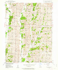
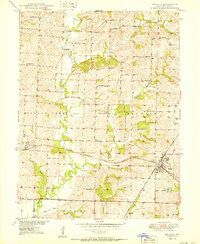
1949 Map of Bucklin NW
USGS Topo · Published 1963About this map
The agrarian landscape of Linn and Missouri counties comes to life in this mid-century survey, defined by a dense network of country schools and family-named cemeteries. The small settlement of Johnstown sits as a central point in an area otherwise characterized by its namesake waterways, including Yellow Creek and its many branches like East Yellow Creek and West Yellow Creek. These stream systems dictate the movement of roads and the placement of community hubs like Nester Chapel and Mt Hope Ch.
Find a feature on this map
33 named features on this map. Tap any name to fly to it.
Don’t see what you’re looking for? This feature index may not catch every label — zoom into the map to look around manually.
Map Details
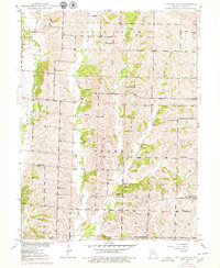
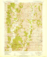
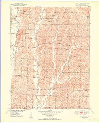
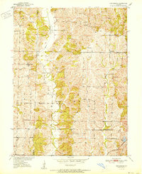
Editions of this 1949 Bucklin NW Map
2 editions found
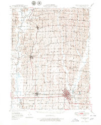
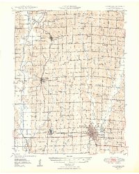
Other maps of this area
1946 · Brookfield
USGS Topo · 1:62,500
1948 · Brookfield
USGS Topo · 1:62,500

1949 · Bucklin
USGS Topo · 1:24,000
1950 · Bucklin
USGS Topo · 1:24,000
1950 · New Cambria West
USGS Topo · 1:24,000
1950 · Bucklin NW
USGS Topo · 1:24,000
1951 · New Boston
USGS Topo · 1:24,000

1953 · Moberly
USGS Topo · 1:250,000

1954 · Centerville
USGS Topo · 1:250,000

1954 · Moberly
USGS Topo · 1:250,000