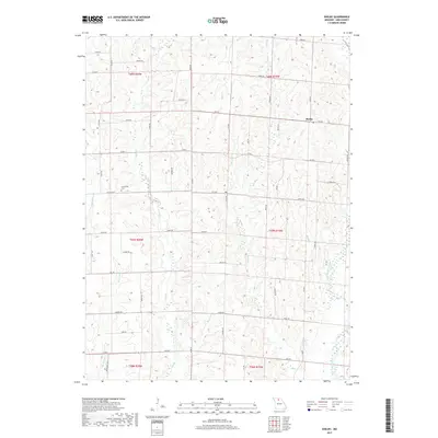
2017 Map of Shelby
USGS Topo · Published 2017About this map
West Yellow Creek and its numerous tributaries, including Wolf Br and Bear Br, carve a dense network of drainage patterns across this north-central Missouri landscape. The small settlement of Shelby sits at a crossroads in the northeast, while the Grantsville Cem serves as a primary genealogical landmark to the west. This 2017 survey reflects the enduring agrarian structure of Linn County, where the land remains organized by a rigid grid of local routes like Hollow Rd, Inca Rd, and Jersey Rd. The terrain is defined by the divides between systems such as Big Turkey Cr and Long Br, illustrating the transition from upland farm plots to the narrow, wooded riparian corridors that follow the winding creek beds.
Find a feature on this map
40 named features on this map. Tap any name to fly to it.
Don’t see what you’re looking for? This feature index may not catch every label — zoom into the map to look around manually.
Map Details
Editions of this 2017 Shelby Map
This is the sole edition of this map. No revisions or reprints were ever made.
Other maps of this area

1946 · Brookfield
USGS Topo · 1:62,500

1948 · Brookfield
USGS Topo · 1:62,500

1949 · Bucklin
USGS Topo · 1:24,000

1949 · Bucklin NW
USGS Topo · 1:24,000

1950 · Bucklin
USGS Topo · 1:24,000

1950 · Bucklin NW
USGS Topo · 1:24,000

1953 · Moberly
USGS Topo · 1:250,000

1954 · Centerville
USGS Topo · 1:250,000

1954 · Moberly
USGS Topo · 1:250,000

1957 · Moberly
USGS Topo · 1:250,000