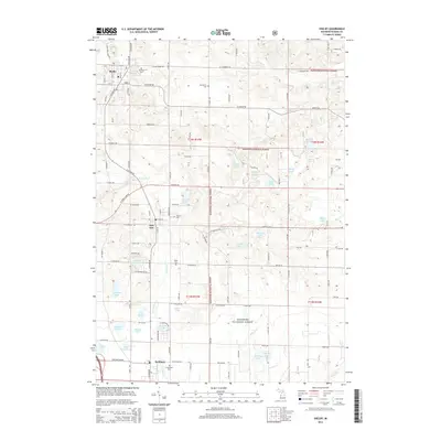
2014 Map of Shelby
USGS Topo · Published 2014About this map
Shelby anchors this coastal Michigan landscape where the fruit-growing heritage of Oceana County meets the sprawling woodlots of the Manistee National Forest. The settlement pattern follows a distinct north-south corridor through New Era down to Rothbury, a legacy of the historic rail and highway routes that connected these farming communities. The terrain is defined by a high density of glacial kettle lakes and wetlands, including Potters Marsh, Lake Sixteen, and the complex hydrology of Carlton Cr. Genealogists will find a high concentration of community burial sites, from Mt Hope Cem in the north to the Assumption Cem in the south, including the Mennonite Cem which reflects the diverse denominations of the early settlers. The eastern half of the map transition into more densely forested public land, punctuated by isolated water bodies like Helldiver Lake and Zeek Lake.
Find a feature on this map
73 named features on this map. Tap any name to fly to it.
Don’t see what you’re looking for? This feature index may not catch every label — zoom into the map to look around manually.
Map Details
Editions of this 2014 Shelby Map
This is the sole edition of this map. No revisions or reprints were ever made.
Other maps of this area

1929 · Montague
USGS Topo · 1:48,000

1931 · Hart NW
USGS Topo · 1:31,680

1931 · Hart SE
USGS Topo · 1:31,680

1931 · Hart NE
USGS Topo · 1:31,680

1931 · Walkerville SW
USGS Topo · 1:31,680

1931 · Walkerville NW
USGS Topo · 1:31,680

1954 · Milwaukee
USGS Topo · 1:250,000

1958 · Milwaukee
USGS Topo · 1:250,000

1958 · Hesperia
USGS Topo · 1:62,500

1958 · Twin Lake
USGS Topo · 1:62,500