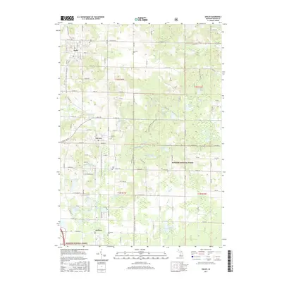
2017 Map of Shelby
USGS Topo · Published 2017About this map
Shelby serves as the primary hub in this portion of Oceana County, situated at the intersection of a well-defined grid of agricultural roads and the William Field Memorial Hart-Montague Trail State Park. The settlement pattern follows a distinct north-south corridor that includes New Era and Rothbury, each marked by their own community centers and cemeteries like Assumption Cem and New Era Cem.
Find a feature on this map
109 named features on this map. Tap any name to fly to it.
Don’t see what you’re looking for? This feature index may not catch every label — zoom into the map to look around manually.
Map Details
Editions of this 2017 Shelby Map
This is the sole edition of this map. No revisions or reprints were ever made.
Other maps of this area

1929 · Montague
USGS Topo · 1:48,000

1931 · Hart NW
USGS Topo · 1:31,680

1931 · Hart SE
USGS Topo · 1:31,680

1931 · Hart NE
USGS Topo · 1:31,680

1931 · Walkerville SW
USGS Topo · 1:31,680

1931 · Walkerville NW
USGS Topo · 1:31,680

1954 · Milwaukee
USGS Topo · 1:250,000

1958 · Milwaukee
USGS Topo · 1:250,000

1958 · Hesperia
USGS Topo · 1:62,500

1958 · Twin Lake
USGS Topo · 1:62,500