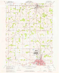
1960 Map of Shelby
USGS Topo · Published 1976About this map
The industrial and military landscape north of Shelby is defined by the heavy presence of the Baltimore and Ohio and New York Central railroads. These lines converge near the Wilkins Air Force Station, a massive installation situated between the city and the village of Plymouth. The map captures a moment of mid-century infrastructure, featuring the American Tower Landing Field and a Drive-in Theater along the highway corridors.
Find a feature on this map
68 named features on this map. Tap any name to fly to it.
Don’t see what you’re looking for? This feature index may not catch every label — zoom into the map to look around manually.
Map Details
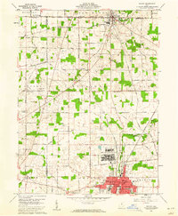
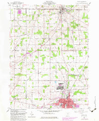
Editions of this 1960 Shelby Map
3 editions found
Other maps of this area

1915 · Norwalk
USGS Topo · 1:62,500

1915 · Siam
USGS Topo · 1:62,500

1915 · Bucyrus
USGS Topo · 1:62,500

1915 · Crestline
USGS Topo · 1:62,500

1943 · Bucyrus
USGS Topo · 1:62,500

1943 · Crestline
USGS Topo · 1:62,500

1944 · Norwalk
USGS Topo · 1:62,500

1950 · Marion
USGS Topo · 1:250,000

1956 · Toledo
USGS Topo · 1:250,000

1960 · North Robinson
USGS Topo · 1:24,000