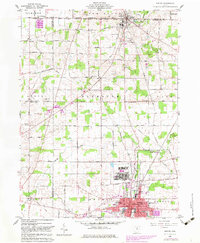
1960 Map of Shelby
USGS Topo · Published 1983About this map
The industrial and agricultural convergence of North Central Ohio is captured here, centered on the city of Shelby and the village of Plymouth. This landscape is fundamentally defined by its transportation corridors, where the Akron Canton and Youngtown, Baltimore and Ohio, and Conrail lines intersect to serve local commerce. To the north, the Celeryville Reservoir and Marsh Run illustrate the specialized muck-soil farming drainage patterns of the region. The map documents a period of mid-century suburban expansion, noted by the Drive-in Theater and Trailer Park north of Plymouth. Within the city of Shelby, the presence of Central High Sch and Whitney Sch alongside the Black Fork Mohican River shows the established civic core before later 20th-century shifts. Rural life remains anchored by family-named landmarks and crossroads like Auburn Center and the Myers Cem further south.
Find a feature on this map
52 named features on this map. Tap any name to fly to it.
Don’t see what you’re looking for? This feature index may not catch every label — zoom into the map to look around manually.
Map Details
Editions of this 1960 Shelby Map
3 editions found
Other maps of this area

1915 · Norwalk
USGS Topo · 1:62,500

1915 · Siam
USGS Topo · 1:62,500

1915 · Bucyrus
USGS Topo · 1:62,500

1915 · Crestline
USGS Topo · 1:62,500

1943 · Bucyrus
USGS Topo · 1:62,500

1943 · Crestline
USGS Topo · 1:62,500

1944 · Norwalk
USGS Topo · 1:62,500

1950 · Marion
USGS Topo · 1:250,000

1956 · Toledo
USGS Topo · 1:250,000

1960 · North Robinson
USGS Topo · 1:24,000