Loading...
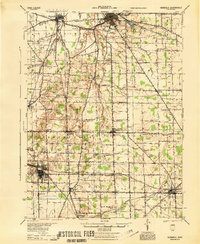
Loading map...1944 Map of Norwalk
USGS Topo · Published 1944About this map
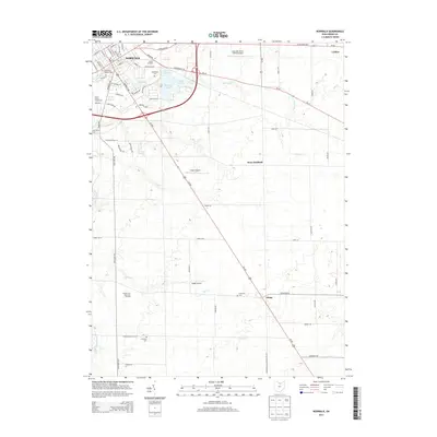
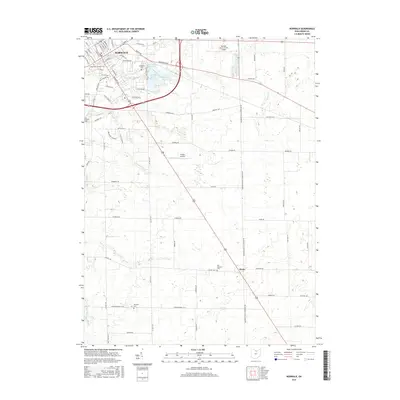
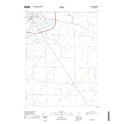
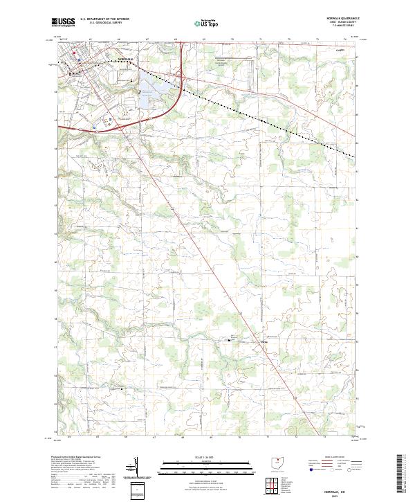
The Huron River and its numerous tributaries, including the East Branch and West Branch, anchor this 1944 survey of central Huron County. The landscape is a complex network of mid-century agriculture and rail-dependent settlements. Major transit hubs like Norwalk and Willard are interconnected by several prominent rail lines, including the Wheeling and Lake Erie and the Baltimore and Ohio.
Find a feature on this map
75 named features on this map. Tap any name to fly to it.
Don’t see what you’re looking for? This feature index may not catch every label — zoom into the map to look around manually.
Map Details
Date Portrayed1944
Date Published1944
PublisherU.S. Geological Survey
Map TypeTopographic
Scale1:62,500
Physical Dimensions17.1 x 20.8 inches
Editions of this 1944 Norwalk Map
This is the sole edition of this map. No revisions or reprints were ever made.
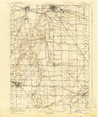
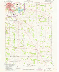
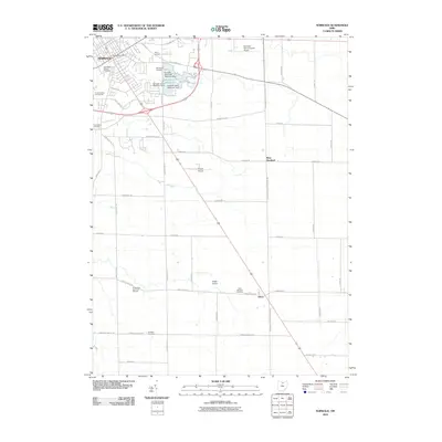
Historical Maps of Norwalk Through Time
8 maps found
Featured Locations
Source Details
SourceU.S. Geological Survey
CopyrightPublic Domain